


Every successful property development starts with accurate data. Before making a single design decision or lodging a council submission, the quality of your project hinges on what’s known about the site beneath your feet. That’s why the importance of site surveys can’t be overstated.
What Is a Site Survey?
A site survey is the detailed measurement and mapping of a specific location to gather information about its physical features, dimensions, boundaries, and existing conditions. Depending on the project, that can include:
- Feature and level (topographic) surveys for design, drainage and earthworks planning.
- Boundary and title surveys to confirm property borders, easements, and lot shape
- Subdivision surveys to support the documentation required for approvals.
- Construction set-out to translate design into accurate on-ground placement (buildings, roads, services, infrastructure).
- As-constructed surveys to verify that what was built matches approved drawings and tolerances.
- Volumetric surveys for stockpile measurements and earthworks in mining and civil projects.
Property development surveyors use specialised equipment, including drone technology, to produce highly detailed spatial data. The deliverables typically include survey plans and digital data that feed into CAD and GIS platforms.
Why Site Surveys Are Important
Property development surveyors play a critical role early in any project. They’re responsible for providing accurate data that – literally in many cases – becomes the foundation for a successful project.
- Property developers use surveys to make property investment decisions
- Planners use surveys to support development applications.
- Engineers and architects rely on surveys to position structures, design stormwater, confirm grades, coordinate services, and test compliance.
- Councils and planning authorities consult surveys when assessing Development Applications.
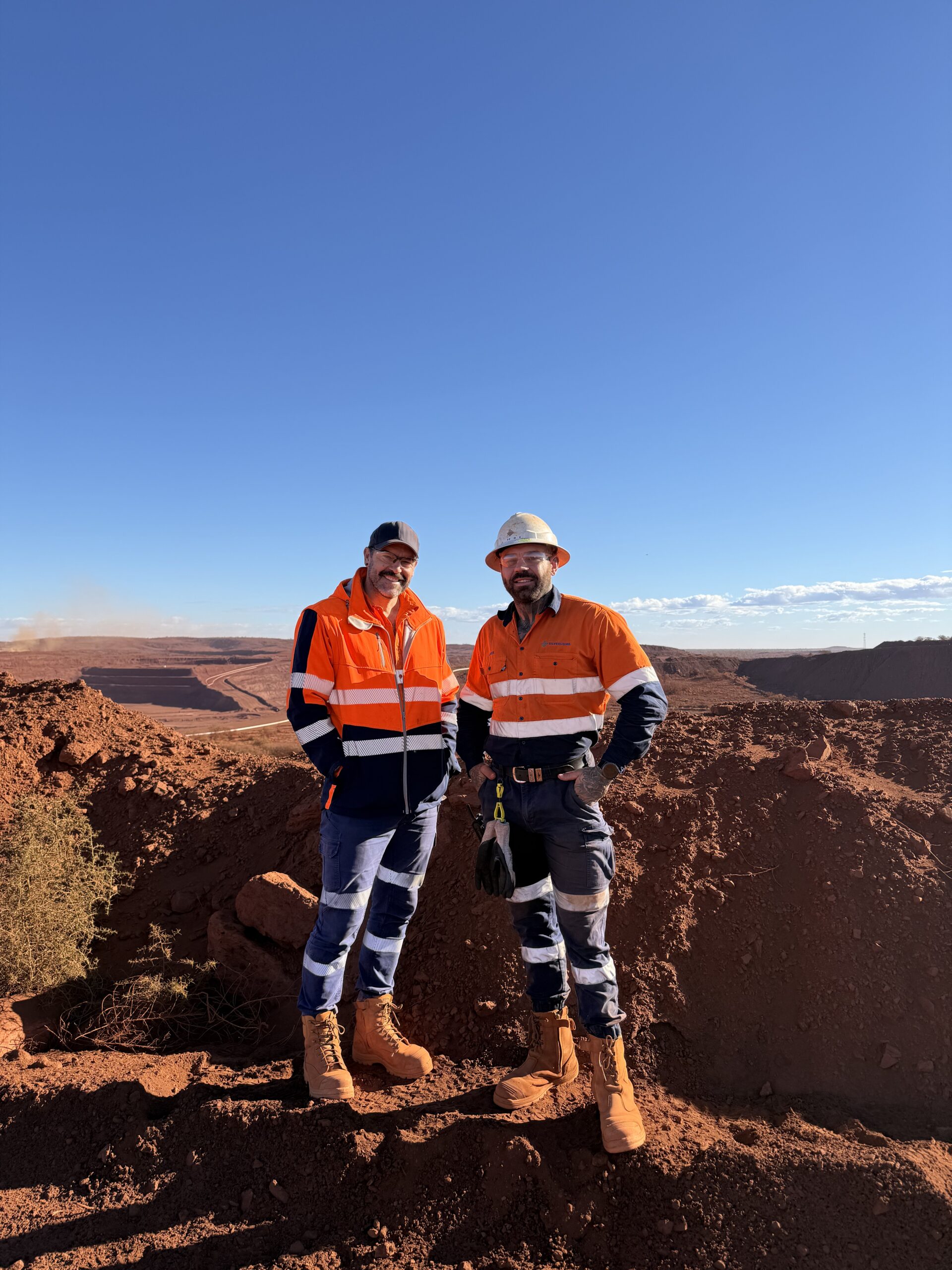
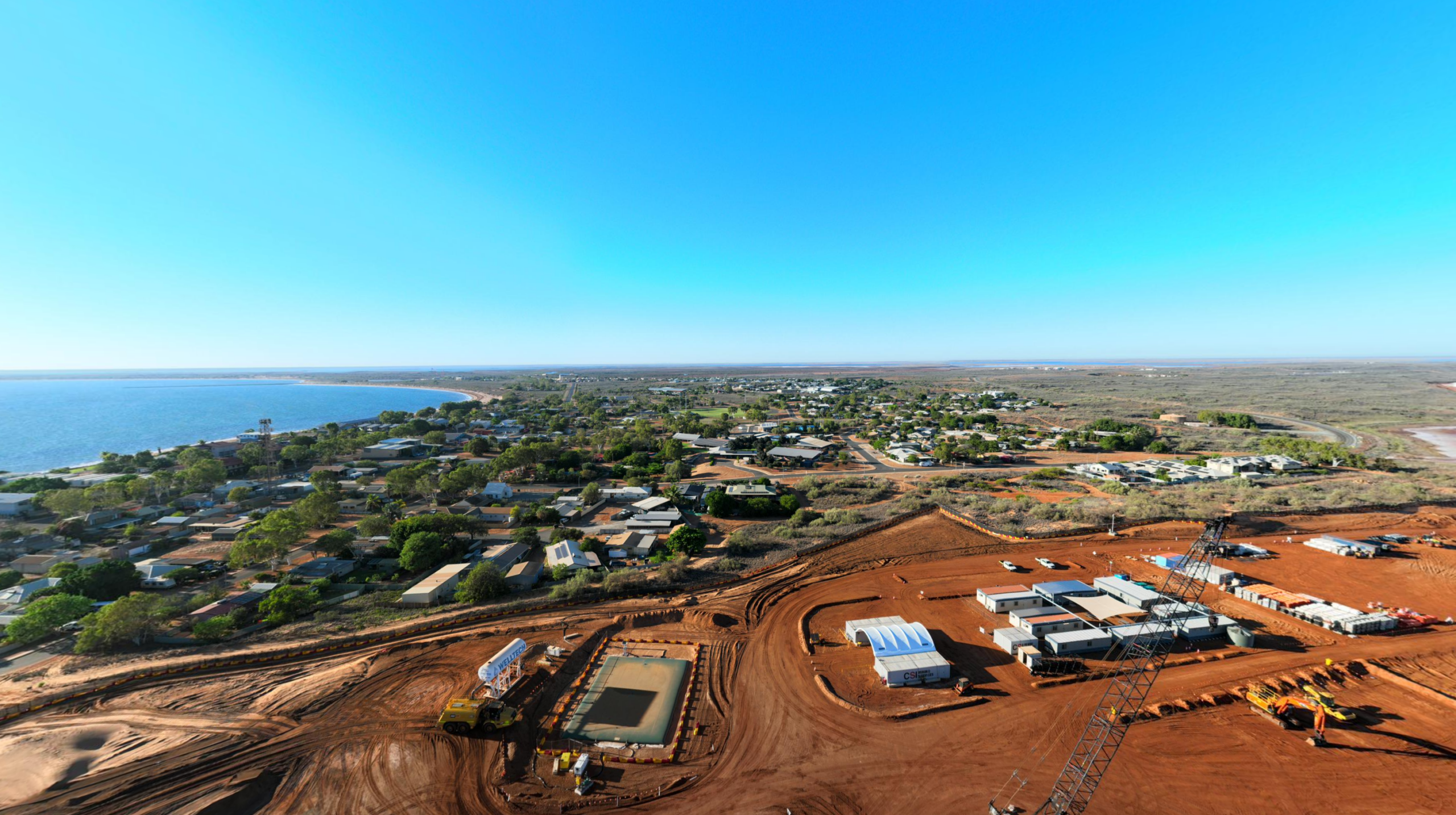
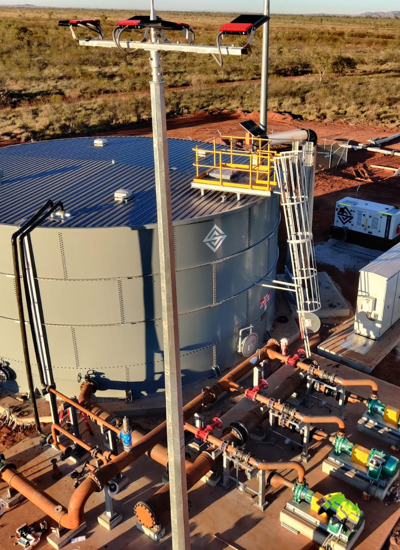
- Mining companies use surveys to plan infrastructure – like MRL in Onslow, a project we’re proud to support.
- Investors and project managers use mid-project site surveys to assess the project’s progress.
Site surveys remove guesswork from design and allow for corrections to be made early. This is why accurate site surveys conducted by experienced property development consultants are mission-critical.
What’s at Stake: The Risks of Inaccurate Surveys and the Value of Getting It Right
In Western Australia, survey accuracy is often the difference between a smooth build and an expensive reset. Soil conditions, drainage behaviour, legacy services, and boundary constraints can vary dramatically from site to site. Records might be outdated, so what’s written down might not be true to what’s in the ground (or under it).
When developers discover too late that site data is wrong or missing entirely, it’s usually not a quick fix.
Design Integrity and Planning Efficiency
Structures at the wrong levels. Floor plans that exceed setback requirements. Drainage systems that don’t work.
These are the unfortunate realities of poor surveying, and they cost tens of thousands of dollars and weeks to correct.
Accurate feature and level data give architects and engineers the information they need to:
- Position buildings with precision
- Resolve access and setback constraints
- Develop 3D models
- Design stormwater systems and services
- Scope site works and earthmoving
It reduces assumptions and allows conflicts to be resolved early, when change is still inexpensive.
For developers working with property development consultants and multi-disciplinary design teams, reliable spatial data becomes the shared foundation that keeps everyone aligned.
Regulatory Approvals and Compliance
Councils and the WA Planning Commission (WAPC) rely on survey accuracy when assessing Development Applications and subdivision proposals.
Working with property development surveyors who understand local planning requirements and Landgate processes means submissions are compliant, correctly formatted, and processed without unnecessary delay.
The inverse is also true. Inaccurate surveys trigger amendments, resubmissions, and the kind of approval delays that put pressure on delivery windows and cause budget blowouts.
It’s always a good idea to have property development surveyors pressure-test old data. We can review what you have, identify gaps, and recommend the right survey scope to de-risk design and approvals.
Construction Risk and Contractor Confidence
Once construction begins, survey precision becomes critical. Accurate set-out ensures that buildings, roads, services, and infrastructure are positioned exactly as approved.
Boundary misalignment or undetected encroachments can escalate into formal disputes, demolition orders, and significant legal exposure.
Thankfully, these situations are almost always avoidable.
Asset Value and Long-Term Protection
The importance of site surveys doesn’t diminish when construction is complete. Boundary and as-constructed surveys protect the asset by:
- Confirming that completed works align with approved documentation
- Supporting the handover, certification, and compliance
- Preventing disputes between construction parties or neighbouring properties
- Protecting title integrity, often for decades
Small measurement errors can plague an asset throughout its entire lifecycle, creating title complications and reducing buyer confidence years down the line.
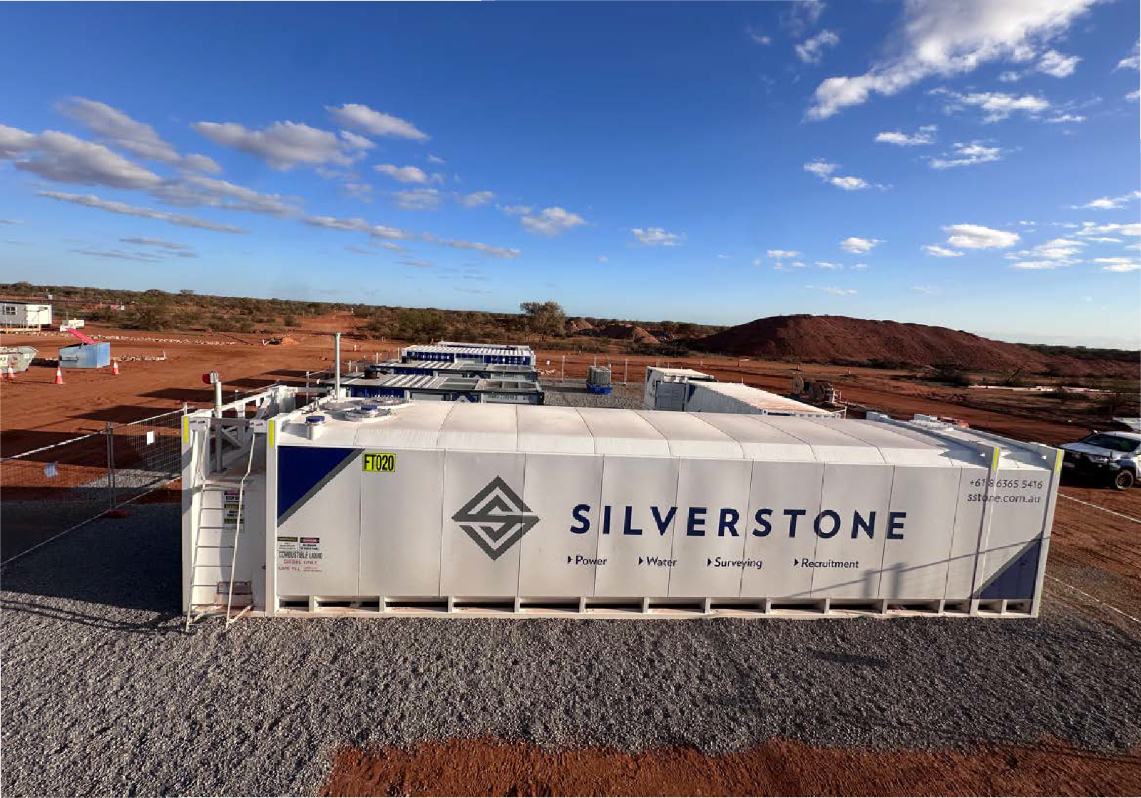
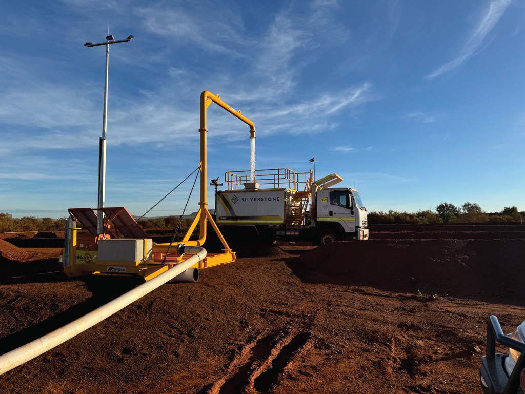
The Silverstone Advantage in Surveying
Silverstone supports property developers, planners, and landowners with reliable surveying services that lay the foundation for confident and compliant project delivery.
Our services include:
- Boundary and title surveys to establish and verify lot lines, easements and cadastral boundaries.
- Site surveys and topographic mapping capturing contours, structures, utilities and features to support planning and design.
- Subdivision and development set-out ensuring roads, lots and infrastructure align precisely with approved plans.
- Drone surveying and mapping, delivering high-resolution orthophotos, contour models and site imagery.
- As-constructed surveys confirming completed works comply with approved documentation.
- Regulatory compliance and reporting supporting development applications and council submissions.
Our team combines practical field expertise with modern drone surveying and mapping technologies. Every project follows a structured process – from project initiation and control setup through to data capture, quality assurance and client-ready deliverables – ensuring dependable results at every stage.
How to Choose the Right Surveying Partner
The right surveying partner brings more than technical capability. When evaluating property development surveyors, look for:
- End-to-end capabilities spanning survey planning, data capture, set-out, progress monitoring, and reporting.
- Advanced technology, such as drone surveying, GPS, and total stations.
- A structured process that establishes quality and compliance controls before work begins.
- Certified documentation and reporting that meets council, WAPC, and statutory requirements.
- A single-source partner who understands the compliance requirements and practical challenges of property development.
Silverstone meets all of these standards. As an experienced property development surveyor and owner-operated multi-disciplinary service provider, we know what mining, civil, infrastructure, and property projects need to succeed.
Start Your Project on Solid Ground
The importance of site surveys is not just avoiding risk, but enabling confident decision-making at every stage of a construction project.
Data must be accurate from the start. That demands a highly skilled property development surveyor with a collaborative approach and the experience to deliver reliable results.
Contact Silverstone to enquire about our property development surveying services.