


Engineering & Construction

Surveying That Keeps Projects Moving
Successful engineering and construction projects rely on accurate survey data from the very beginning. From site establishment and construction set out through to verification and final handover, reliable surveying helps reduce risk, improve efficiency and ensure projects are delivered with confidence.
Silverstone provides professional surveying services for engineering and construction projects across Western Australia. Working alongside contractors, developers and project teams, we deliver accurate spatial data that supports planning, construction and successful project delivery.
Building Projects With Confidence
Our surveying solutions support every stage of engineering and construction, providing accurate information that helps projects stay on schedule, reduce rework and achieve quality outcomes.
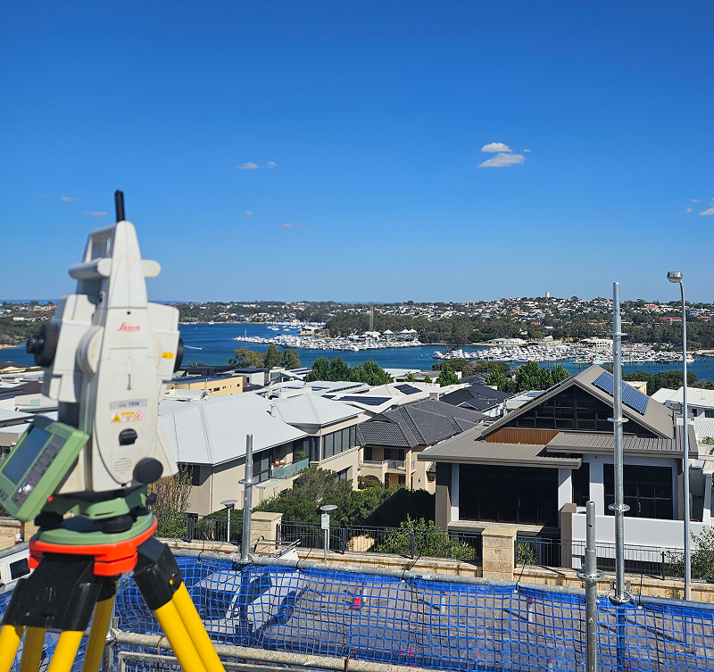
Site Establishment & Survey Control
We establish accurate survey control networks that provide the foundation for construction, ensuring every stage of the project begins with reliable data.
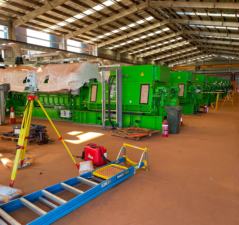
Construction Set Out
Precise set out services ensure structures, services and infrastructure are positioned accurately in accordance with approved engineering designs.
Drone Surveying & Mapping
Using advanced UAV technology, we capture detailed aerial imagery and spatial data that supports planning, monitoring and progress reporting throughout construction.
Progress Verification
Regular verification surveys help project teams monitor progress, identify issues early and maintain alignment with design intent.
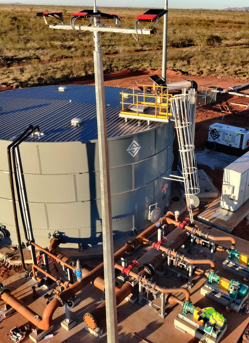
As Constructed Surveys
We provide accurate as constructed surveys that verify completed works, support compliance and deliver reliable records for project handover.
Digital Survey Deliverables
Our survey data is supplied in formats compatible with engineering and construction workflows, allowing project teams to integrate accurate information into their existing systems.
Survey Data That Drives Better Project Outcomes
Construction projects move quickly, and accurate information is essential at every stage. Reliable survey data helps improve coordination, reduce costly rework and provides project teams with the confidence to make informed decisions throughout delivery.
By combining experienced survey professionals with advanced technology, Silverstone delivers practical surveying solutions that support engineering and construction projects from concept through to completion.
Delivering Projects With Confidence
Every successful project depends on more than accurate survey data. It requires clear communication, reliable delivery and a survey team that understands the pace and complexity of construction. We work alongside contractors, engineers and project teams to provide practical surveying support that keeps projects moving from start to finish.
Understanding Your Programme
Every project has unique objectives, timelines and challenges. We take the time to understand your programme and tailor our surveying approach to support efficient project delivery.
Accurate Site Establishment
Accurate survey control and site establishment provide the foundation for successful construction, ensuring work begins with confidence and precision.
Responsive Survey Support
Construction programmes move quickly. Our surveyors work closely with site teams, providing timely support and accurate information when it's needed most.
Clear Communication
We believe reliable communication is just as important as reliable survey data. By working collaboratively with project teams, we help minimise delays and keep projects progressing smoothly.
Reliable Delivery
Meeting deadlines matters. We're committed to delivering accurate survey information on time, helping maintain productivity and reduce costly rework.
Long Term Project Partnerships
We build lasting relationships by consistently delivering dependable surveying solutions, practical expertise and responsive support across every stage of a project.
Built For Better Project Outcomes
Successful construction projects are built on reliable information. At Silverstone, we combine experienced survey professionals with advanced technology and practical industry knowledge to provide accurate survey data that supports confident decision making from planning through to project completion.
By working collaboratively with contractors, engineers and developers, we deliver surveying solutions that improve coordination, reduce risk and help projects stay on schedule, on budget and built to specification.
Engineering & Construction
Survey FAQs
From early planning through to final handover, accurate surveying plays a critical role in successful project delivery. Here are some of the questions we’re most commonly asked about our engineering and construction surveying services.
What types of surveying services do you provide for engineering and construction?
We provide survey control, construction set out, drone surveying, progress surveys, as constructed surveys and digital survey deliverables that support engineering and construction projects across Western Australia.
Can Silverstone support projects from planning through to completion?
Yes. Our survey team supports every stage of the project lifecycle, from site establishment and construction through to verification, certification and final project handover.
How does surveying improve construction projects?
Accurate survey data helps reduce rework, improve coordination, verify completed works and ensure construction is delivered in accordance with approved designs.
Do you work with contractors, engineers and developers?
Absolutely. We work closely with principal contractors, civil contractors, engineers, consultants and developers to provide surveying support tailored to each project’s requirements.
Why choose Silverstone for engineering surveying?
Our experienced survey professionals combine modern surveying technology with practical construction knowledge to deliver accurate, reliable survey solutions that help projects move forward with confidence.