











LICENCE SURVEYS

Accurate Licence Surveys That Give You Confidence
Accurate licence surveys provide the certainty needed to progress projects with confidence. From confirming legal boundaries and tenure requirements to supporting regulatory approvals and land development, reliable survey information helps reduce risk and ensures projects remain compliant from the outset.
Silverstone delivers professional licence surveys across Western Australia for mining, construction, infrastructure and land development projects. Our experienced licensed surveyors combine technical expertise with advanced surveying technology to provide accurate, dependable information that supports informed decision making at every stage of your project.
Our Licence Survey Services
Boundary & Tenure Surveys
We accurately establish property boundaries, lease areas and tenure limits, providing clear survey information that supports land management, approvals and regulatory compliance.
Construction Set Out
Our surveyors provide precise set out services to ensure infrastructure, buildings and civil works are constructed accurately in accordance with approved designs.
Drone Surveying & Mapping
Using advanced UAV technology, we capture accurate aerial imagery and spatial data to produce contour plans, orthophotos and digital terrain models for planning and project delivery.
Machine Guidance
Support
We prepare and verify digital machine guidance models that improve construction accuracy, increase productivity and reduce unnecessary rework on site.
Infrastructure Surveys
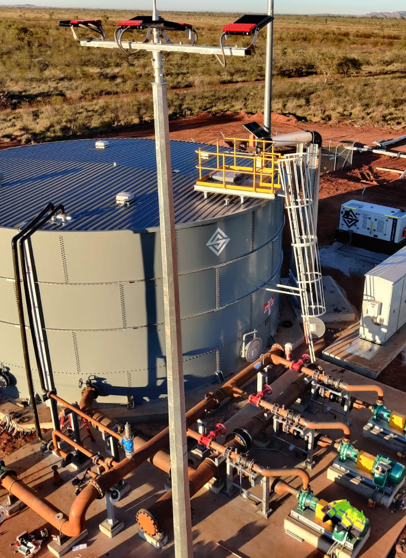
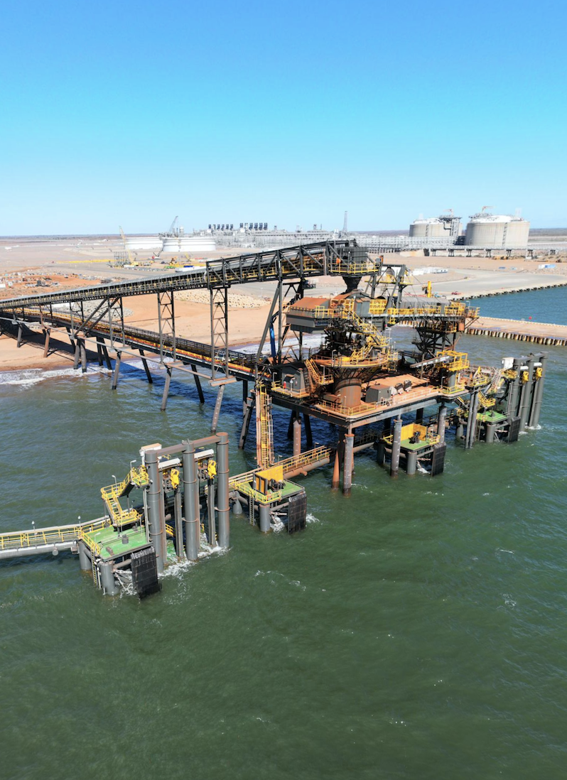
Supporting roads, bridges, pipelines and civil infrastructure projects with accurate survey information throughout planning, construction and completion.
Survey Consulting
Providing practical surveying advice, technical support and quality assurance to help clients make informed decisions and meet project requirements with confidence.
Reliable Survey Information Starts with Accuracy
Every successful project depends on reliable information. Accurate licence surveys reduce uncertainty, support compliance and provide the confidence needed to make informed decisions before construction begins.
At Silverstone, we combine experienced licensed surveyors with modern technology to deliver precise survey data that supports planning, approvals, construction and ongoing land management across Western Australia.
A Structured Approach to Every Survey
Every project begins with accurate information. Our process is designed to provide clear, reliable survey data that supports planning, compliance and confident decision making from the initial consultation through to final deliverables.
01
Initial Consultation
We begin by understanding your project requirements, site conditions and statutory obligations to determine the most appropriate surveying approach.
02
Site Reconnaissance
Our surveyors assess the site, review existing survey information and identify any constraints before field work begins.
03
Field Survey
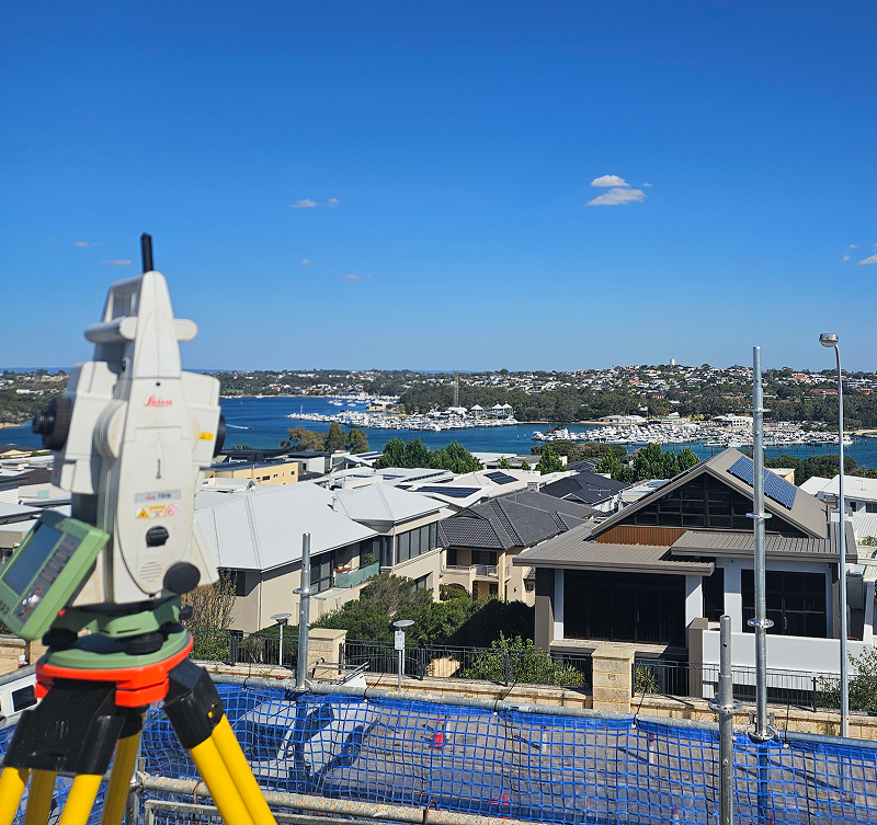
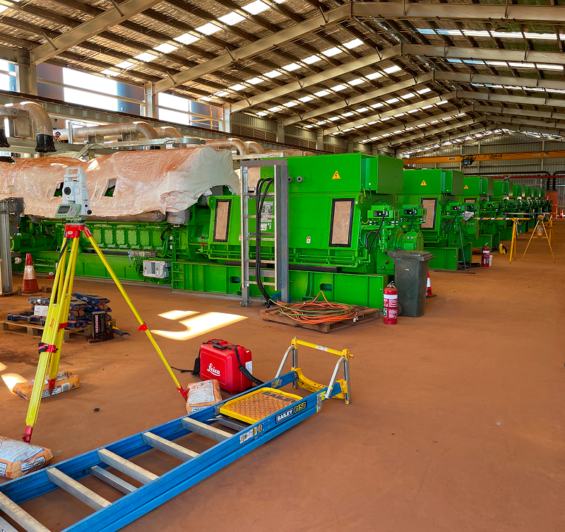
Using advanced GNSS equipment, robotic total stations and other survey technology, we accurately capture the data required for your project.
04
Drone Processing & Validation
Survey information is processed, analysed and quality checked to ensure accuracy, consistency and compliance with relevant standards.
05
Plans & Documentation
We prepare clear survey plans, digital files and supporting documentation that can be used for approvals, construction and ongoing project management.
06
Ongoing Support
As your project progresses, our team remains available to provide additional surveys, advice and technical support whenever required.
Surveying You Can Rely On
Reliable survey data is the foundation of every successful project. At Silverstone, we combine experienced survey professionals, advanced technology and practical industry knowledge to deliver accurate information that supports confident decision making from planning through to project completion.
Whether we’re supporting mining, civil construction, infrastructure or land development, our team is committed to delivering safe, reliable surveying solutions backed by responsive service, technical expertise and a focus on quality outcomes.

Survey FAQs
Whether you’re planning a new development, confirming property boundaries or meeting statutory requirements, here are some of the questions we’re most commonly asked about our licence surveying services.
When is a licence survey required?
Licence surveys are typically required when establishing or redefining property boundaries, creating new lots, undertaking subdivisions or meeting statutory requirements for development and infrastructure projects. Our licensed surveyors can advise on the most appropriate survey for your project.
What is the difference between a licence survey and a standard survey?
A licence survey is completed by a Licensed Surveyor and is legally recognised for cadastral, boundary and land tenure matters. Standard engineering or construction surveys support project delivery but cannot certify legal boundaries or create new land titles.
Can Silverstone complete licence surveys anywhere in Western Australia?
Yes. Our team delivers licence surveying services across metropolitan, regional and remote Western Australia, supporting projects across mining, infrastructure, construction and land development.
What information will I receive at the completion of a licence survey?
Depending on your project, you’ll receive accurate survey plans, digital survey data and any required documentation to support approvals, boundary definition, land development or statutory compliance.
How do you ensure survey accuracy?
We combine experienced Licensed Surveyors with advanced GNSS technology, robotic total stations and rigorous quality assurance processes to deliver reliable survey data that clients can confidently rely on throughout their project.
Proven Results

