


Utilities

Surveying That Supports Essential Infrastructure
Utility infrastructure relies on accurate survey data to support safe construction, ongoing maintenance and future network expansion. From water and wastewater assets to power, communications and underground services, reliable surveying helps reduce risk, improve coordination and keep essential infrastructure operating efficiently.
Silverstone provides professional utility surveying services across Western Australia, delivering accurate spatial data and practical surveying solutions that support utility providers, contractors and infrastructure projects from planning through to completion.
Supporting Essential Infrastructure
Our surveying services provide the accurate information needed to plan, construct, maintain and upgrade utility infrastructure, helping projects meet compliance requirements while minimising disruption to surrounding assets and communities.
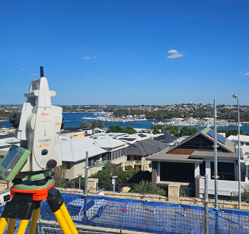
Utility Survey Control
Accurate survey control establishes a reliable foundation for construction, maintenance and infrastructure upgrades, ensuring every project begins with confidence.
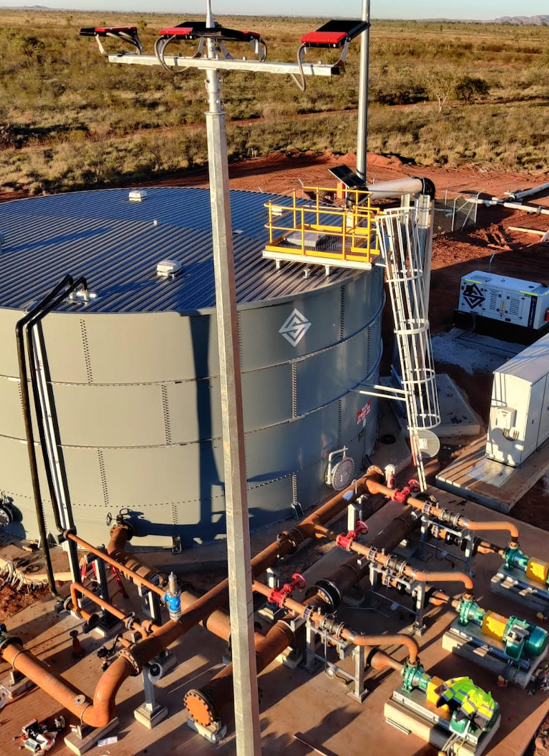
Underground Services & Asset Location
Providing accurate survey information to support the identification, mapping and management of underground infrastructure, reducing risk during construction and maintenance activities.
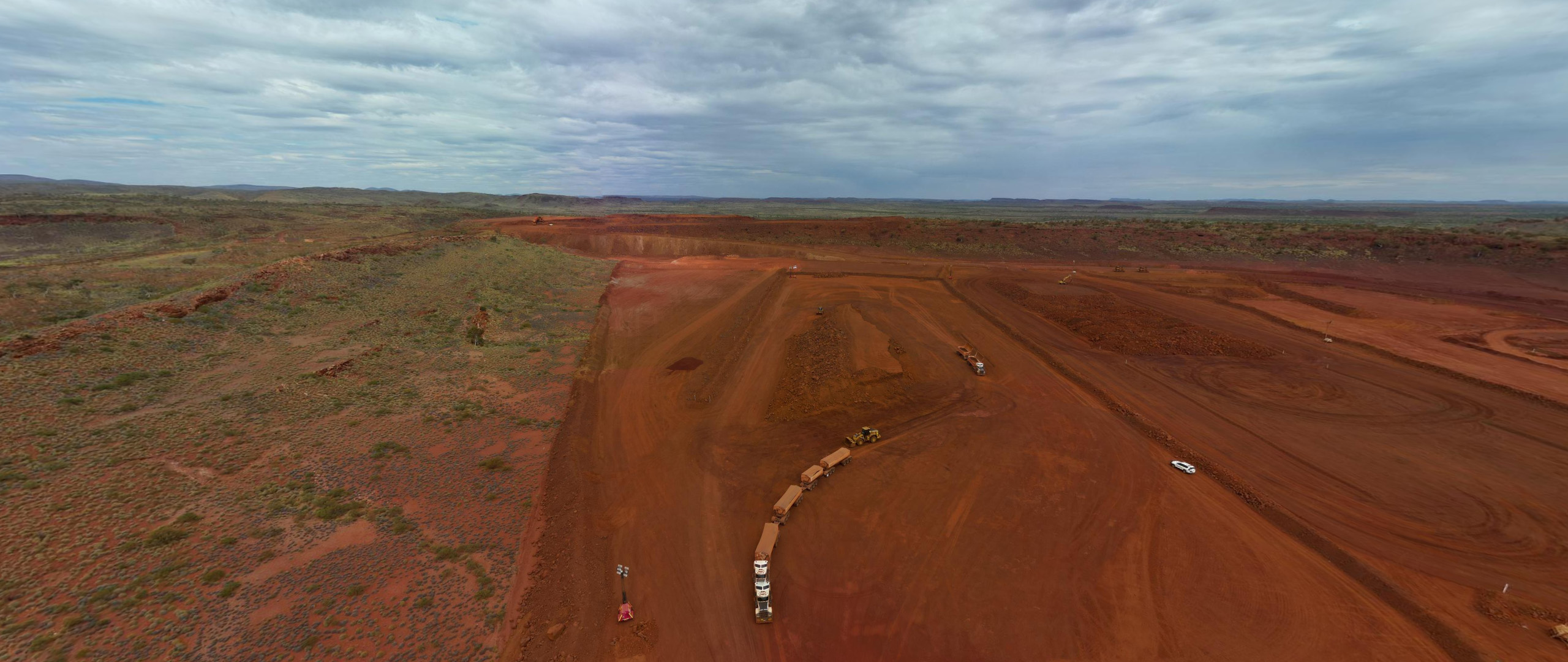
Drone Surveying & Mapping
Using advanced UAV technology, we capture detailed aerial imagery and spatial data that supports corridor planning, inspections and progress monitoring across utility networks.
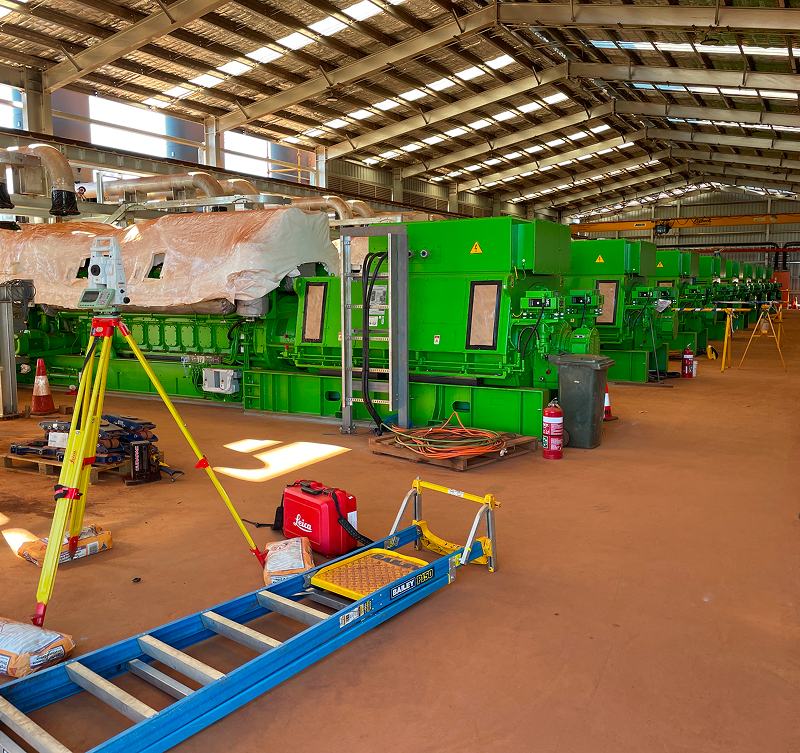
Construction Set Out
Our surveyors deliver precise construction set out services, ensuring utility infrastructure is installed accurately and in accordance with approved designs.
Asset Verification
As constructed surveys verify completed works, providing accurate records that support future maintenance, upgrades and asset management.
Ongoing Monitoring
Monitoring surveys provide reliable information that helps identify movement, assess infrastructure performance and support the long term management of critical utility assets.
Reliable Survey Data for Critical Infrastructure
Utility projects demand accuracy, reliability and careful coordination. Whether delivering new infrastructure or maintaining existing networks, accurate survey information helps improve planning, reduce risk and support better project outcomes.
At Silverstone, we work alongside utility providers, contractors and project teams to deliver practical surveying solutions that support safe, efficient and reliable infrastructure delivery across Western Australia.
Keeping Projects Moving
Delivering utility infrastructure requires more than accurate survey data. It requires responsive support, clear communication and a team that understands the importance of maintaining essential services while projects are underway.
Understanding Your Network
Every utility project presents different challenges. We take the time to understand your infrastructure, project scope and operational requirements before work begins.
Accurate Field Data
Using advanced surveying technology and proven field methodologies, we capture reliable spatial data that supports planning, construction and maintenance.
Minimising Project Risk
Accurate survey information helps identify potential issues early, reducing rework and supporting safer project delivery.
Collaborative Delivery
We work closely with contractors, engineers and asset owners to ensure survey information is delivered when it's needed, keeping projects progressing efficiently.
Reliable Information
Our commitment to quality assurance ensures every survey deliverable is accurate, dependable and ready to support informed decision making.
Supporting Long Term Infrastructure
Beyond construction, we continue supporting utility providers with surveying services that assist future upgrades, maintenance programs and ongoing asset management.
Supporting Infrastructure That Lasts
Reliable infrastructure starts with reliable information. Silverstone combines experienced survey professionals, advanced technology and practical industry expertise to deliver surveying solutions that support utility projects from planning and construction through to long term asset management.
Our focus is on providing accurate data, dependable service and practical solutions that help clients protect critical infrastructure and deliver successful project outcomes.
Utility Survey FAQs
From new utility infrastructure to ongoing maintenance and asset management, here are some of the questions we’re most commonly asked about our utility surveying services.
What utility surveying services does Silverstone provide?
We provide survey control, underground services surveys, construction set out, drone surveying, asset verification and monitoring surveys for utility infrastructure projects across Western Australia.
Can Silverstone support live utility environments?
Yes. Our experienced survey team regularly works alongside utility providers and contractors, delivering accurate survey information while maintaining safe work practices and minimising operational disruption.
Do you survey underground utilities?
Absolutely. We provide accurate surveying to support the location, mapping and verification of underground infrastructure, helping reduce risk during construction and maintenance activities.
Can you support utility upgrades and maintenance projects?
Yes. We provide surveying services for new infrastructure, upgrades, maintenance works and long term asset management across utility networks.
Why choose Silverstone for utility surveying?
We combine experienced survey professionals, modern surveying technology and practical infrastructure knowledge to deliver accurate survey solutions that support safe, efficient and reliable project delivery.