









Drone Surveying & Mapping

A Smarter Way to Capture Accurate Site Data
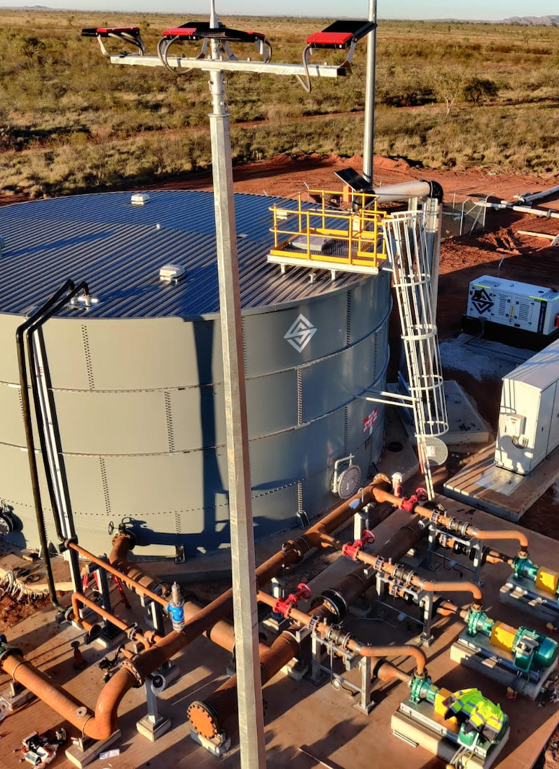
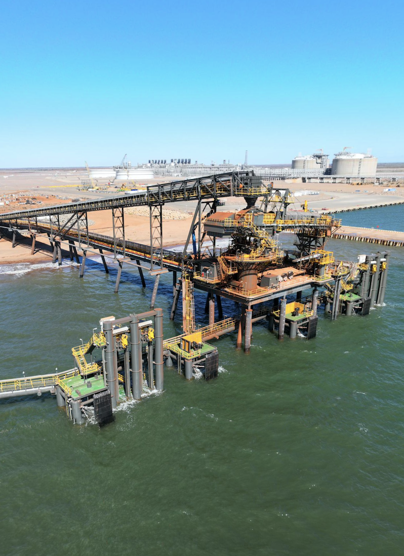
Drone surveying provides a fast, safe and highly accurate way to capture detailed site information across large and complex environments. Using advanced UAV technology, high resolution imagery and precise spatial data, projects can be planned, monitored and managed with greater confidence.
Silverstone delivers professional drone surveying and mapping services throughout Western Australia, supporting mining, civil construction, infrastructure and land development projects. From aerial mapping and volumetric analysis to progress monitoring and 3D modelling, we provide reliable survey data that improves decision making and project efficiency.
Drone Surveying Services
Aerial Mapping & Orthophotography
Capture high resolution aerial imagery and orthophotos that provide an accurate visual representation of your site for planning, reporting and project management.
3D Terrain & Surface Modelling
Generate detailed digital terrain models and surface models that support engineering design, earthworks planning and construction activities.
Stockpile & Volume Calculations
Accurately measure stockpiles, cut and fill volumes, and earthworks quantities to improve reporting, planning and operational efficiency.
Progress Monitoring
Track project progress over time using repeat drone surveys, providing clear visual records and accurate data to support project reporting and stakeholder communication.
CAD & GIS Ready Deliverables
Survey outputs are delivered in formats that integrate seamlessly into CAD, GIS and engineering software, allowing project teams to make informed decisions using accurate spatial data.
Compliance & Site Reporting
Provide accurate aerial data to support environmental monitoring, compliance reporting, project documentation and operational planning.
Better Decisions Start with Better Data
Drone surveying provides project teams with a faster, safer and more efficient way to capture accurate site information. By collecting detailed aerial data in a fraction of the time required by traditional methods, projects benefit from improved visibility, reduced site exposure and more informed decision making.
At Silverstone, we combine experienced survey professionals with advanced UAV technology to deliver reliable aerial mapping and spatial data that supports projects from planning through to completion.
Our
Process
Our drone surveying process is designed to deliver accurate, reliable and actionable data while maintaining the highest standards of safety and efficiency.
01
Project Planning
We review your project objectives, site conditions and deliverables to develop the most effective flight plan and data capture strategy.
02
Flight Operations
Our qualified operators conduct drone surveys safely and efficiently using advanced UAV technology to capture high quality aerial imagery and spatial data.
03
Data Processing
Captured imagery is processed into accurate orthophotos, digital terrain models, point clouds and other project deliverables using industry leading software.
04
Quality Assurance
All survey outputs are validated and quality checked to ensure they meet project requirements and deliver reliable, accurate results.
05
Ongoing Project Support
Repeat surveys and ongoing monitoring provide clients with up to date project information throughout construction and operational phases.
Surveying You Can Rely On
Reliable survey data is the foundation of every successful project. At Silverstone, we combine experienced survey professionals, advanced technology and practical industry knowledge to deliver accurate information that supports confident decision making from planning through to project completion.
Whether we’re supporting mining, civil construction, infrastructure or land development, our team is committed to delivering safe, reliable surveying solutions backed by responsive service, technical expertise and a focus on quality outcomes.

Drone Surveying FAQs
Learn more about our drone surveying and mapping services and how aerial data can improve the safety, efficiency and accuracy of your next project.
What are the benefits of drone surveying?
Drone surveying provides a faster, safer and more efficient way to capture accurate site data. It reduces time spent in the field, improves site visibility and delivers detailed aerial information to support planning, construction and reporting.
What industries use drone surveying?
Our drone surveying services support mining, civil construction, infrastructure, land development and environmental projects across Western Australia, delivering accurate aerial data for projects of all sizes.
What deliverables can you provide?
We provide orthophotos, digital terrain models, 3D surface models, stockpile and volume calculations, point clouds and other spatial data compatible with CAD and GIS platforms.
Is drone surveying as accurate as traditional surveying?
When undertaken by experienced survey professionals using appropriate control methods, drone surveying delivers highly accurate spatial data suitable for planning, monitoring and many engineering applications. Ground survey techniques can also be integrated where required to meet project specifications.
Can you complete repeat drone surveys throughout a project?
Yes. We regularly undertake scheduled drone surveys to monitor construction progress, track site changes, measure volumes and provide ongoing project reporting throughout the lifecycle of a project.
Proven Results

