


Property & Development

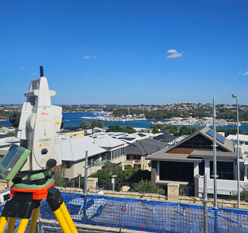
Surveying That Supports Better Developments
Every successful development begins with accurate survey information needed to plan, design and deliver successful developments. From early planning through to construction and final certification, reliable survey data helps reduce risk, streamline approvals and keep projects moving with confidence.
Silverstone provides property and development surveying services across Western Australia, supporting developers, builders, consultants and landowners with accurate surveying solutions. Whether you’re planning a subdivision, delivering new infrastructure or preparing land for construction, we provide dependable survey data that supports informed decisions at every stage of your project.
Our Property & Development Services
Feature & Contour Surveys
Providing detailed site information that supports planning, engineering design and development approvals.
Boundary & Cadastral Surveys
Accurately defining property boundaries and land ownership to support subdivisions, developments and statutory requirements.
Subdivision Surveys
Supporting residential, commercial and industrial subdivisions with accurate surveying, documentation and certification.
Construction Set Out
Translating design information into precise site set out, ensuring infrastructure and buildings are constructed accurately.
As Constructed Surveys
Verifying completed works against approved designs and providing accurate records for project completion and compliance.
Development Consulting
Working alongside developers, engineers and consultants to provide practical surveying advice throughout the development process.
Accurate Survey Data from Planning to Completion
Property developments rely on accurate information at every stage. From planning and approvals through to construction and final handover, reliable survey data helps reduce risk, improve coordination and support better project outcomes.
At Silverstone, we work closely with developers, builders and consultants to deliver surveying solutions that provide confidence throughout the entire development lifecycle.
Our
Process
Every development project is different, but our approach remains the same. We provide accurate survey information, clear communication and dependable support from the first site visit through to project completion.
01
Project Consultation
We begin by understanding your development objectives, site conditions and approval requirements to determine the most appropriate surveying solution.
02
Site Survey
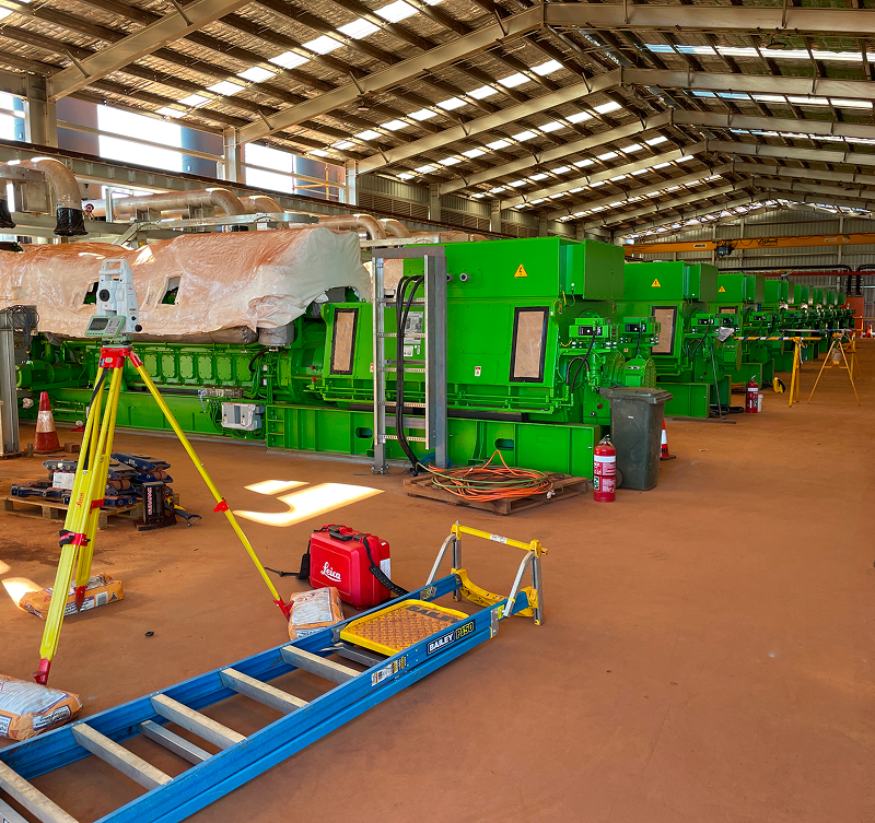
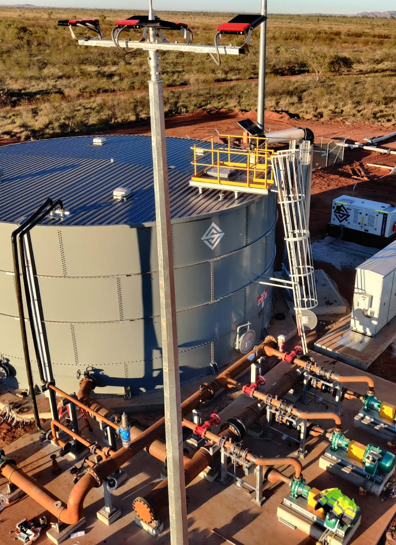
Our experienced surveyors capture accurate site information using modern surveying technology to establish a reliable foundation for your project.
03
Data Processing
Survey data is processed, verified and quality checked before being prepared for planning, engineering and construction teams.
04
Survey Deliverables
We provide clear survey plans, digital models and supporting documentation that integrate seamlessly into project workflows.
05
Project Support
As developments progress, we continue providing additional surveys, set out and verification services to support every stage of construction.
Surveying You Can Rely On
Reliable survey data is the foundation of every successful project. At Silverstone, we combine experienced survey professionals, advanced technology and practical industry knowledge to deliver accurate information that supports confident decision making from planning through to project completion.
Whether we’re supporting mining, civil construction, infrastructure or land development, our team is committed to delivering safe, reliable surveying solutions backed by responsive service, technical expertise and a focus on quality outcomes.
Property & Development FAQs
What property surveying services does Silverstone provide?
We provide feature and contour surveys, boundary and cadastral surveys, subdivision surveys, construction set out and as constructed surveys to support residential, commercial and industrial developments across Western Australia.
When should a survey be completed during a development?
Surveying should begin during the planning phase and continue throughout design, construction and project completion. Accurate survey information helps reduce risk, improve efficiency and support successful project delivery.
Can Silverstone assist with subdivision projects?
Yes. Our team provides surveying services that support subdivisions, including boundary definition, survey documentation and certification to assist with approvals and project delivery.
Do you work with developers and builders?
Absolutely. We regularly work alongside developers, builders, engineers, architects and consultants, providing reliable survey information that supports projects from concept through to completion.
How does Silverstone ensure survey accuracy?
Our experienced surveyors use advanced surveying technology and rigorous quality assurance processes to deliver accurate, dependable survey information that clients can rely on throughout every stage of their project.