


Mining

Working in Mining
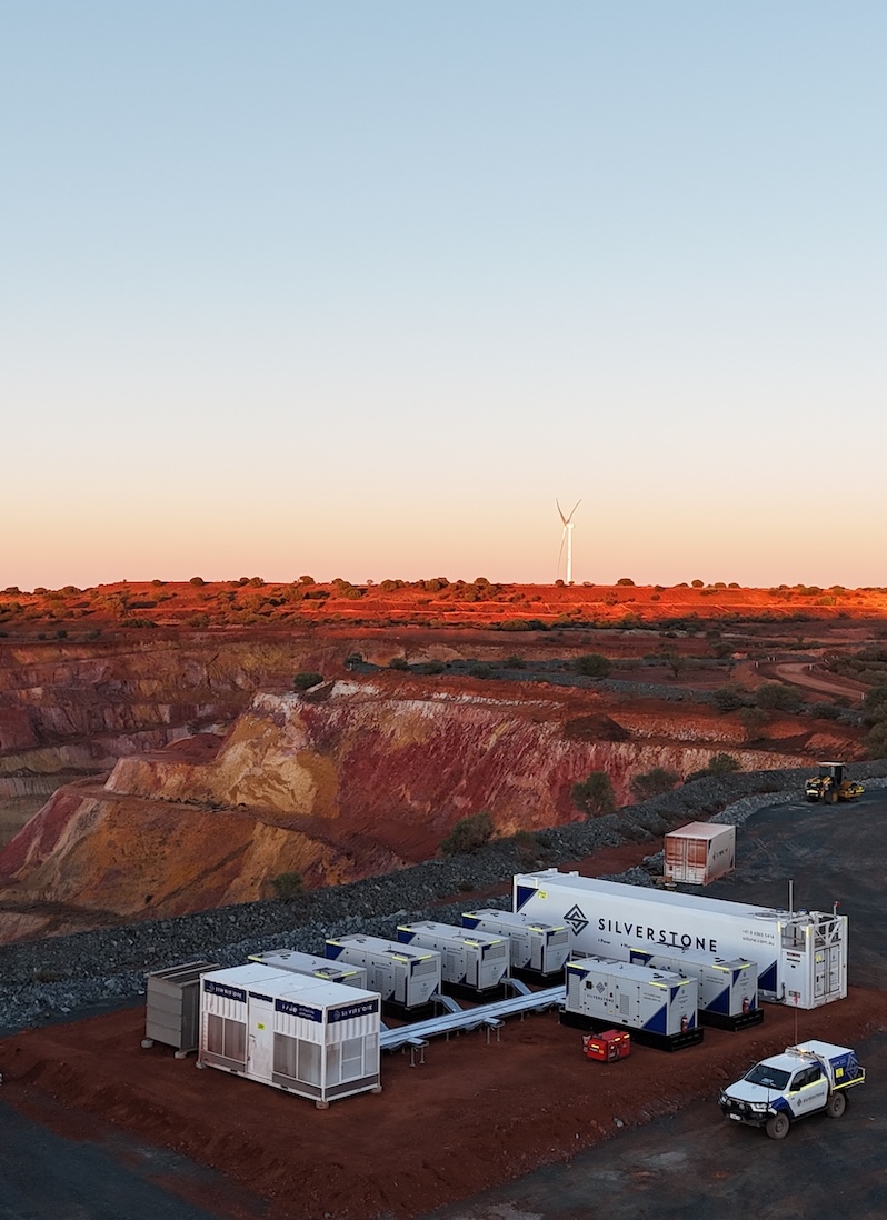
At Silverstone, we bring practical, on-the-ground experience to every mining project. Our team understands the unique challenges of remote sites, complex operations, and tight schedules, delivering solutions that are safe, reliable, and efficient. From precision surveying to workforce and infrastructure support, we help mining operations stay on track while maximising performance and compliance.
Solutions for Mining
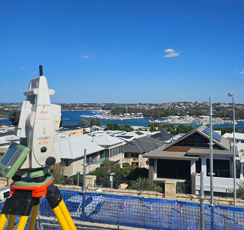
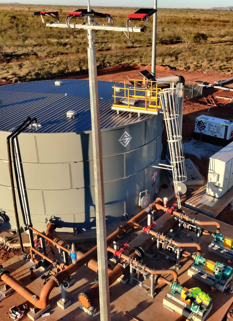
Silverstone provides tailored surveying solutions for mining projects, combining technical expertise, drone-based technology, and a client-focused approach. From aerial mapping to volume calculations and progress monitoring, we deliver accurate, efficient, and actionable data that supports planning, construction, and operational decision-making. Our services are designed for safety, speed, and minimal disruption, ensuring mining operations remain productive and compliant.
Survey Planning & Set-Out
We provide comprehensive survey planning and set-out services using drone-based measurements to ensure accurate alignment, positioning, and layout for mining infrastructure, equipment placement, and excavation zones.
Aerial Mapping & 3D Modelling
Our drones capture high-resolution imagery for detailed aerial maps and 3D models. These datasets generate orthophotos, contour plans, and digital surface models that inform mine design, construction, and operational planning.
Stockpile & Volume Surveys
Progress Monitoring & Visual Reporting
Silverstone delivers regular drone-based surveys to monitor site progress, detect deviations, and provide visual reports to clients and stakeholders. This ensures transparency, timely decisions, and smooth project execution.
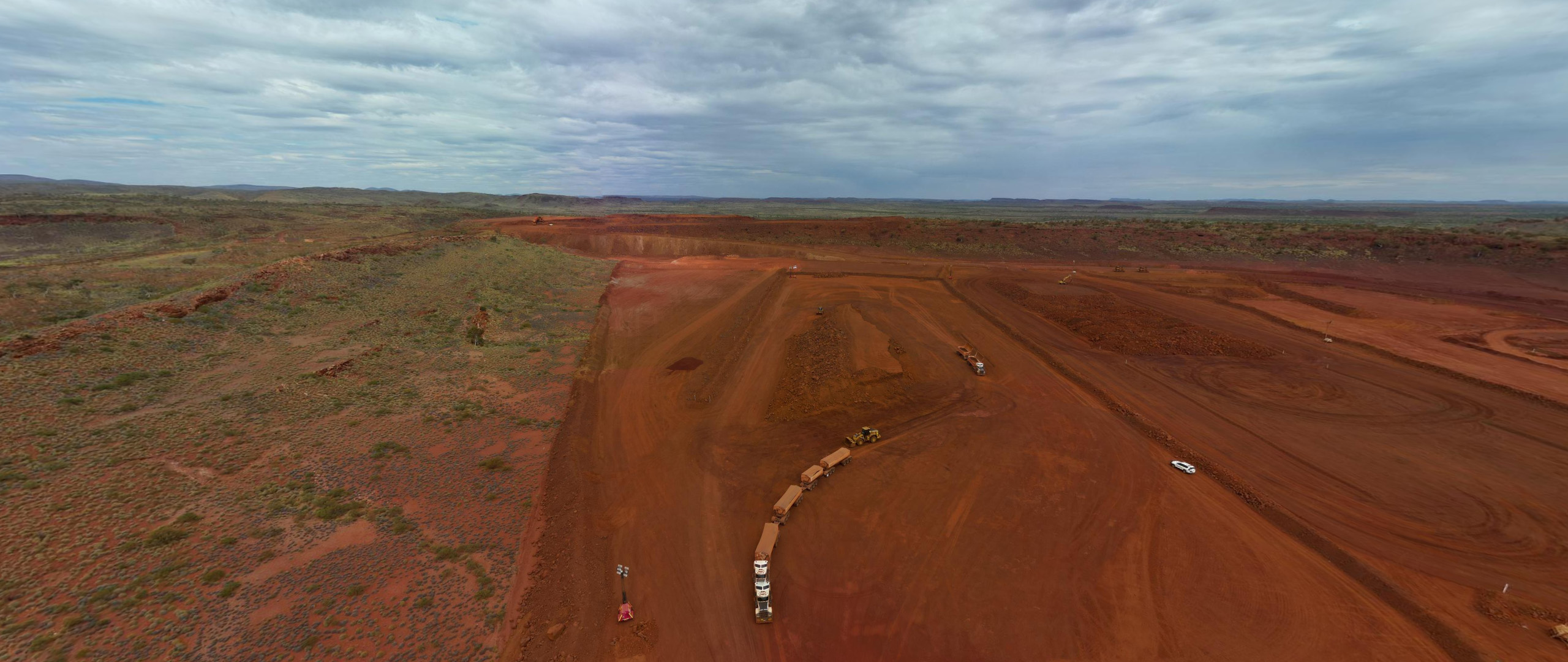
Remote & Hard-to-Access Site Surveys
Our UAV solutions allow rapid and safe capture of large or difficult-to-access areas with minimal operational disruption. This is ideal for challenging terrain, remote mining operations, and expansive sites.
CAD & GIS Data Integration
Survey data from drones is fully integrated with CAD and GIS platforms, supporting engineering workflows, design verification, and seamless collaboration across mining, construction, and infrastructure projects.
Precision Surveying for Every Project
Silverstone combines advanced technology with expert teams to deliver accurate, reliable surveying solutions. From site capture to design integration, we provide the insights you need to plan, build, and operate with confidence.
How We Help
Silverstone supports surveying projects across mining, construction, civil, and property sectors, delivering precise, compliant, and actionable data at every stage. From initial site planning to progress monitoring, we combine technical expertise, advanced technology, and practical on-ground experience to ensure projects are executed safely, efficiently, and to the highest standard. Our solutions enable clients to make informed decisions, reduce risk, and optimise outcomes.
Survey Planning & Set-Out
Silverstone develops detailed survey plans and performs precise set-outs for mining, civil, and construction projects. Our work ensures correct alignment, positioning, and layout, providing a reliable foundation for every stage of development.
Drone Surveying & Mapping
Using high-resolution drones, we capture aerial imagery and 3D models for rapid, safe surveying of large or hard-to-access sites. Deliverables include orthophotos, contour plans, volume measurements, progress monitoring, and seamless integration with CAD and GIS platforms.
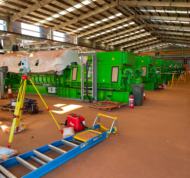
Engineering & Construction Surveys
We provide precision surveying for structural, mechanical, and civil projects, including SMP surveys, bridge and road alignment, and building set-outs. Our data supports design verification, installation accuracy, and as-constructed reporting.
Property & Compliance Surveys
Silverstone delivers end-to-end property and regulatory surveying services, including boundary identification, subdivision surveys, lease compliance, and documentation. We ensure every project meets statutory requirements and stakeholder expectations.
Why Choose Silverstone
Silverstone delivers end-to-end surveying solutions with precision, efficiency, and reliability at every stage. Whether it’s licence surveys, engineering and construction set-outs, drone surveying, or property development, we provide accurate, actionable data that supports planning, design, construction, and operational decision-making.
With in-house capabilities spanning survey planning, data capture, set-out, progress monitoring, and reporting, we act as a single-source partner who understands the complexities, compliance requirements, and practical challenges of mining, civil, infrastructure, and property projects. Our surveying projects are executed by experienced professionals using advanced drone technology, GPS, and total stations, ensuring safety, minimal disruption, and results you can trust — all delivered on time and to the highest standard.
FAQS
Silverstone delivers surveying solutions that combine precision, efficiency, and practical experience. Our team uses advanced drone technology, industry expertise, and a client-focused approach to provide accurate, actionable data. From mining and infrastructure projects to property development and construction, we ensure every survey supports informed decision-making, safe operations, and timely project delivery.
What surveying services does Silverstone provide?
We provide a full suite of surveying solutions, including licence surveys, engineering and construction set-outs, property development surveys, and drone surveying and mapping. Our drone services deliver aerial mapping, 3D modelling, orthophotos, contour plans, and digital surface models for design, construction, and operational purposes.
How does Silverstone ensure data accuracy in surveys?
Accuracy is achieved through high-resolution drone imagery, rigorous field procedures, and quality assurance processes. Every dataset is verified and integrated seamlessly with CAD and GIS platforms to support engineering workflows and project decisions.
Can Silverstone operate in large, remote, or difficult-to-access sites?
Yes. Our drone surveying enables rapid, safe capture of extensive or hard-to-access areas, with minimal disruption to operations. We have extensive experience across mining sites, construction projects, subdivisions, and infrastructure developments throughout Western Australia.
Does Silverstone provide volume calculations and progress monitoring?
Absolutely. Our drone surveys deliver accurate stockpile measurements, earthwork volume calculations, and progress monitoring, along with visual reporting for clients and stakeholders. This ensures projects stay on track, on budget, and fully informed at every stage.
Why choose Silverstone for drone surveying projects?
Silverstone combines advanced UAV technology, practical on-site experience, and a client-focused approach to deliver safe, cost-effective, and efficient survey solutions. Our proven capability across subdivisions, construction projects, mining operations, and infrastructure sites ensures reliable outcomes every time.