


Oil & Gas

Working in Oil & Gas
Silverstone delivers expert surveying services tailored to the unique demands of the oil and gas sector, helping operators manage spatial data with precision, compliance, and efficiency. Our experienced survey teams support upstream, midstream, and downstream operations — from well sites and corridors to plant expansions and infrastructure installations.
We understand the complexities and regulatory requirements of oil and gas environments, including remote locations, safety frameworks and tight project timelines. By combining cutting-edge drone surveying and mapping with proven survey methodologies, Silverstone provides accurate data that supports planning, construction, compliance and operational decision-making.
Solutions for Oil & Gas
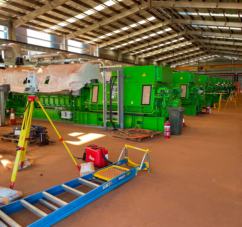
Site Establishment & Control Surveys
Silverstone delivers precise site control and baseline surveys that underpin all oil and gas development activities. Our surveys ensure spatial accuracy from early planning through to construction and operations.
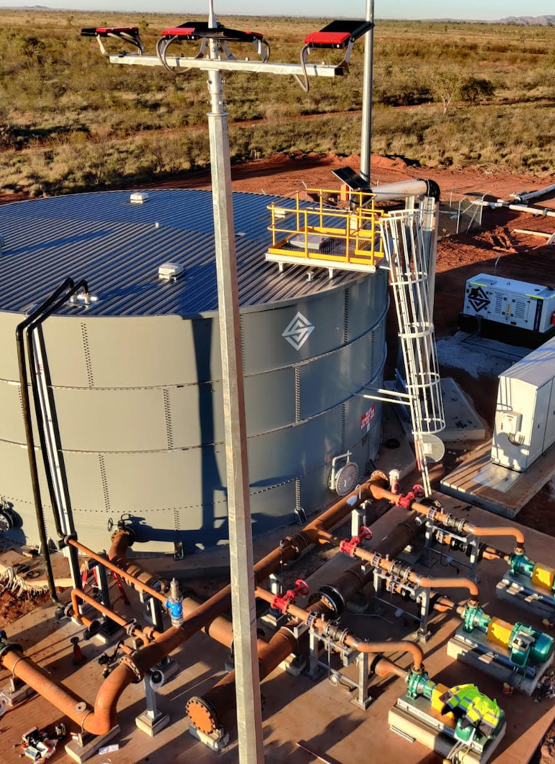
Drone Surveying & Mapping
We provide high-resolution aerial mapping using advanced drone surveying techniques, enabling safe and efficient data capture across large, remote or high-risk oil and gas environments.
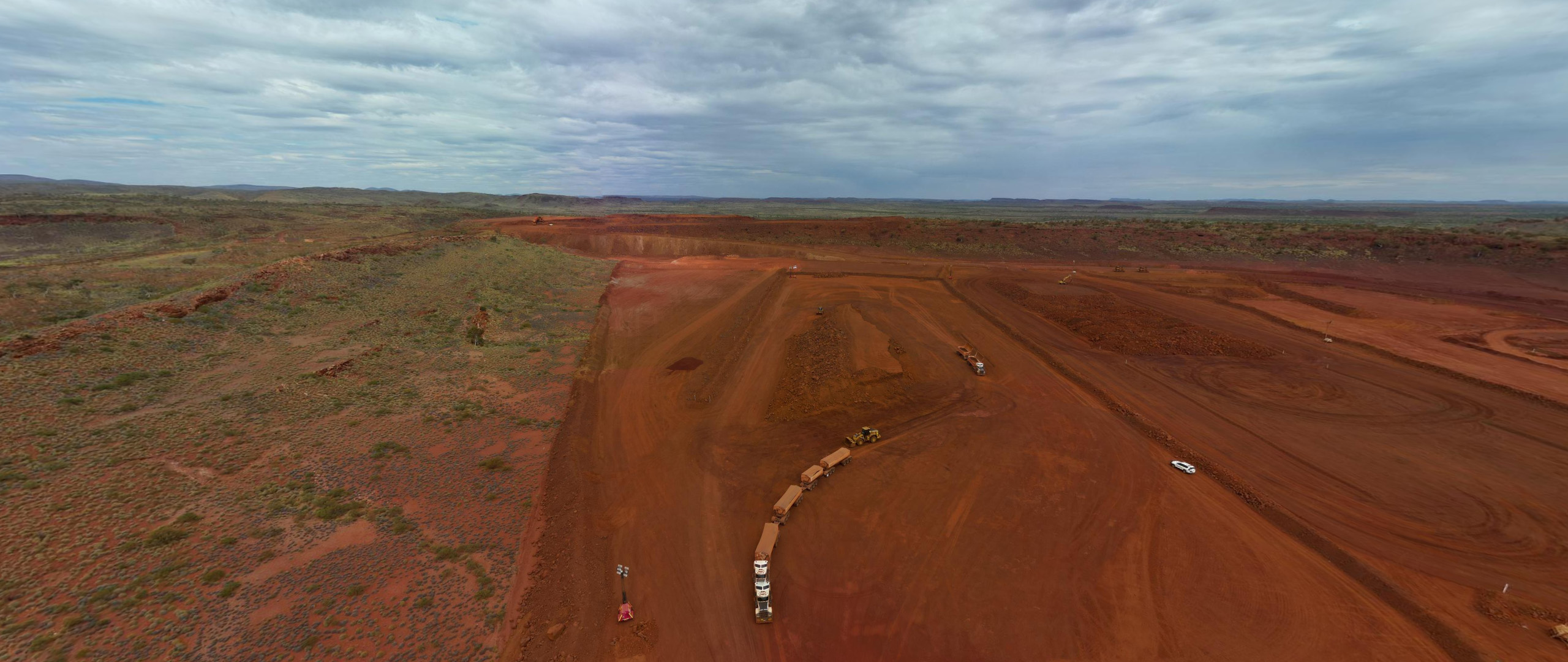
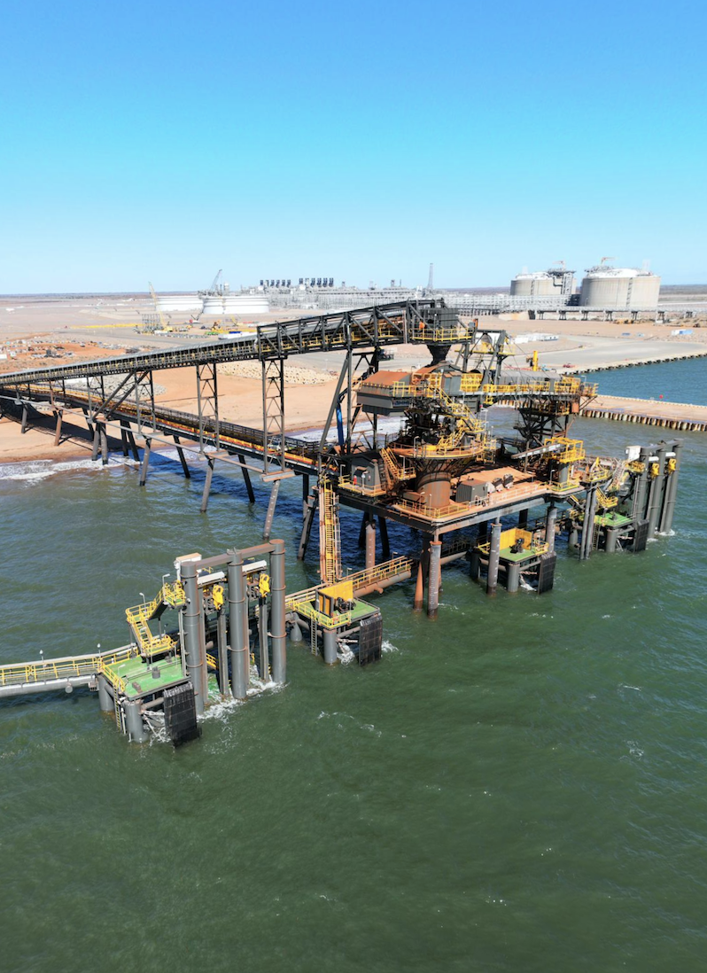
Pipeline & Corridor Mapping
Our team supports pipeline routes, access tracks and easements with accurate corridor surveys that assist design validation, land access planning and construction alignment.
Construction & As-Built Verification
Silverstone verifies construction works against approved designs, delivering reliable as-constructed survey data to support certification, handover and operational records.
Volumetric & Earthworks Analysis
Using drone-derived data, we produce accurate volumetric calculations for earthworks, pads, stockpiles and materials management, supporting cost control and reporting.
Compliance & Regulatory Survey Support
We generate survey documentation that supports environmental approvals, safety compliance and statutory reporting requirements across oil and gas operations.
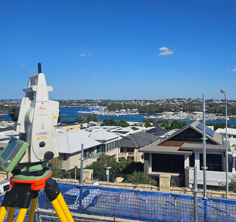
Precision Surveying for Every Project
Silverstone combines advanced technology with expert teams to deliver accurate, reliable surveying solutions. From site capture to design integration, we provide the insights you need to plan, build, and operate with confidence.
How We Help
At Silverstone, our surveying services provide precise, reliable, and practical solutions for complex projects across mining, construction, and infrastructure sectors. By combining advanced technology with experienced field teams, we ensure accurate data collection, actionable insights, and seamless integration with project workflows — keeping your projects on track, on budget, and compliant.
Safety-First Workforce
Personnel trained to meet strict Oil & Gas safety standards, site protocols, and compliance requirements.
Shutdown & Turnaround Support
Rapid mobilisation of experienced crews to support planned shutdowns, turnarounds, and critical maintenance works.
Specialist Technical Personnel
Access to skilled operators, engineers, trades, and supervisors with onshore and offshore experience.
Remote & FIFO Capability
Proven support for remote operations with effective roster, logistics, and workforce management.
Compliance & Regulatory Support
All personnel aligned with industry regulations, environmental standards, and operator-specific requirements.
Operational Continuity
Reliable workforce supply to minimise downtime and maintain safe, continuous production.
Why Choose Silverstone
Silverstone delivers end-to-end surveying solutions with precision, efficiency, and reliability at every stage. Whether it’s licence surveys, engineering and construction set-outs, drone surveying, or property development, we provide accurate, actionable data that supports planning, design, construction, and operational decision-making.
With in-house capabilities spanning survey planning, data capture, set-out, progress monitoring, and reporting, we act as a single-source partner who understands the complexities, compliance requirements, and practical challenges of mining, civil, infrastructure, and property projects. Our surveying projects are executed by experienced professionals using advanced drone technology, GPS, and total stations, ensuring safety, minimal disruption, and results you can trust — all delivered on time and to the highest standard.
FAQS
Silverstone delivers surveying solutions that combine precision, efficiency, and practical experience. Our team uses advanced drone technology, industry expertise, and a client-focused approach to provide accurate, actionable data. From mining and infrastructure projects to property development and construction, we ensure every survey supports informed decision-making, safe operations, and timely project delivery.
What surveying services does Silverstone provide?
We provide a full suite of surveying solutions, including licence surveys, engineering and construction set-outs, property development surveys, and drone surveying and mapping. Our drone services deliver aerial mapping, 3D modelling, orthophotos, contour plans, and digital surface models for design, construction, and operational purposes.
How does Silverstone ensure data accuracy in surveys?
Accuracy is achieved through high-resolution drone imagery, rigorous field procedures, and quality assurance processes. Every dataset is verified and integrated seamlessly with CAD and GIS platforms to support engineering workflows and project decisions.
Can Silverstone operate in large, remote, or difficult-to-access sites?
Yes. Our drone surveying enables rapid, safe capture of extensive or hard-to-access areas, with minimal disruption to operations. We have extensive experience across mining sites, construction projects, subdivisions, and infrastructure developments throughout Western Australia.
Does Silverstone provide volume calculations and progress monitoring?
Absolutely. Our drone surveys deliver accurate stockpile measurements, earthwork volume calculations, and progress monitoring, along with visual reporting for clients and stakeholders. This ensures projects stay on track, on budget, and fully informed at every stage.
Why choose Silverstone for drone surveying projects?
Silverstone combines advanced UAV technology, practical on-site experience, and a client-focused approach to deliver safe, cost-effective, and efficient survey solutions. Our proven capability across subdivisions, construction projects, mining operations, and infrastructure sites ensures reliable outcomes every time.