


Drone Surveying & Mapping

Drone Surveying & Mapping with Silverstone
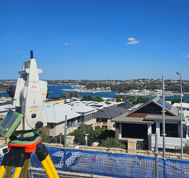
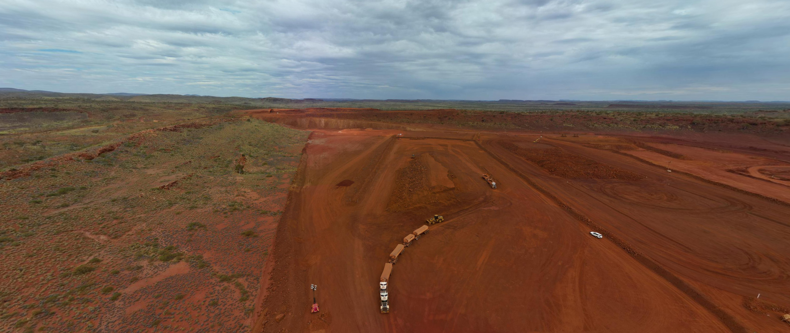
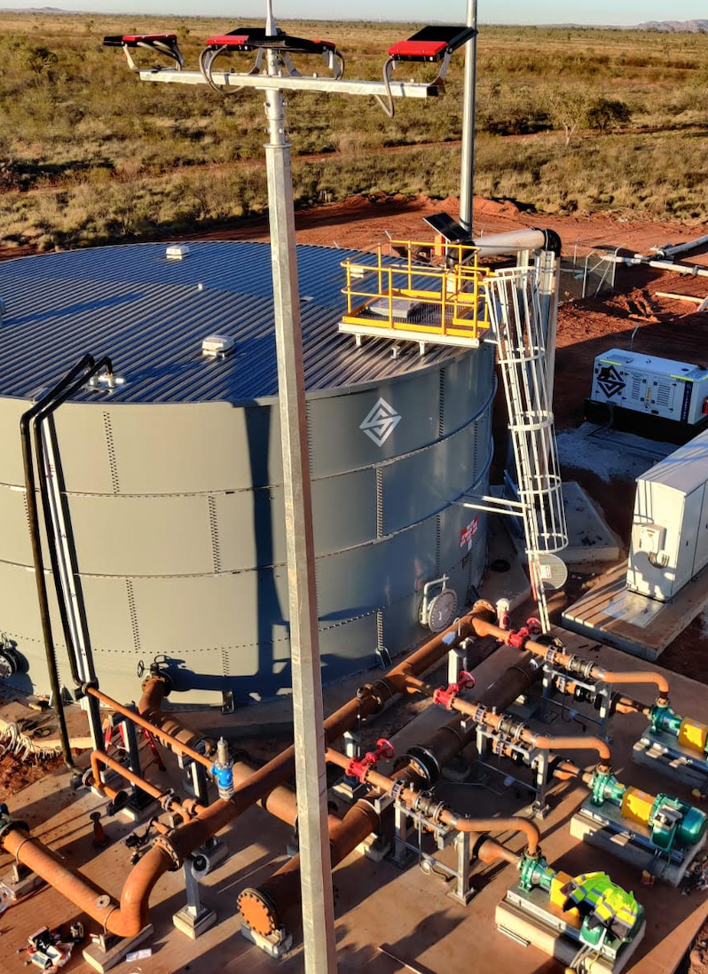
Silverstone provides high‑precision drone surveying and mapping services that deliver rapid, reliable spatial data across mining, infrastructure, civil, and environmental projects. Using advanced unmanned aerial systems and industry‑leading workflows, we capture high‑resolution imagery and create accurate digital models that support design, planning, construction and reporting.
Our drone services offer a safe and efficient alternative to traditional ground‑based surveys, especially across large or hard‑to‑access sites. From orthophotos and contour models to stockpile measurements and volumetrics, Silverstone delivers data you can trust — integrated seamlessly with CAD and GIS platforms to support engineering and operational decision‑making.
Included in the service
Aerial Mapping & 3D Modelling
Using high‑resolution drone imagery, we capture detailed site data for orthophotos, 3D surface models, and contour plans that support design and construction workflows.
Rapid Site Capture & Safety
Drone surveys enable fast, risk‑free data capture over large areas or difficult terrain, reducing site exposure and minimising disruption to operations.
Accurate Stockpile & Volume Surveys
We provide precise volumetric analysis for stockpile measurements and earthworks, supporting mining, civil and materials management with dependable spatial information.
Progress Monitoring & Reporting
Our drone surveys are ideal for tracking site progression, validating construction stages, and delivering visual reporting for stakeholders and project teams.
Seamless CAD & GIS Integration
All survey outputs are formatted for direct integration with CAD and GIS environments, enabling efficient use of spatial data within engineering and planning software.
Regulatory & Compliance Support
Deliverables meet statutory and project compliance requirements, providing certified spatial data that supports approvals, reporting and site governance.
Precision Surveying for Every Project
Silverstone combines advanced technology with expert teams to deliver accurate, reliable surveying solutions. From site capture to design integration, we provide the insights you need to plan, build, and operate with confidence.
Our
process
Silverstone’s drone surveying and mapping process ensures accurate, compliant, and timely spatial deliverables from start to finish.
01
Project Scoping & Planning
We work with you to define survey objectives, deliverables, and site constraints. Detailed planning ensures flight safety, regulatory compliance and resource allocation.
02
Pre‑Flight Preparation
Our team undertakes site risk assessments, flight path programming, and equipment checks to ensure safe and efficient data capture.
03
Drone Data Capture
Using high‑resolution sensors and advanced UAV platforms, we fly programmed survey missions to capture imagery and spatial data across the project area.
04
Data Processing & Quality Control
Collected imagery is processed into orthomosaics, digital surface models, point clouds and contour maps. Quality control ensures data accuracy and completeness before delivery.
05
Delivery & Integration
Final outputs — including models, maps and reports — are delivered in client‑specified formats for immediate use in CAD, GIS and asset management systems.
Why Choose Silverstone
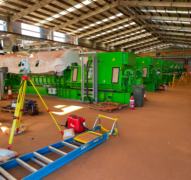
Silverstone delivers end-to-end surveying solutions with precision, efficiency, and reliability at every stage. Whether it’s licence surveys, engineering and construction set-outs, drone surveying, or property development, we provide accurate, actionable data that supports planning, design, construction, and operational decision-making.
With in-house capabilities spanning survey planning, data capture, set-out, progress monitoring, and reporting, we act as a single-source partner who understands the complexities, compliance requirements, and practical challenges of mining, civil, infrastructure, and property projects. Our surveying projects are executed by experienced professionals using advanced drone technology, GPS, and total stations, ensuring safety, minimal disruption, and results you can trust — all delivered on time and to the highest standard.
FAQS
What industries benefit from drone surveying?
Drone surveying supports mining, civil construction, infrastructure development, environmental monitoring, land development and utility projects.
How accurate are drone surveys?
Silverstone’s drone systems deliver high‑resolution imagery and spatial data aligned with industry standards. When combined with ground control, accuracy meets design and compliance requirements.
Can drone surveys replace traditional ground surveys?
In many cases, yes. Drone surveys provide rapid, high‑resolution data for large areas, while ground surveys can be used to augment control or validate specific points as needed.
What deliverables can I expect?
We provide orthophotos, digital surface models, contour plans, point clouds, volumetrics and formatted outputs for CAD or GIS integration.
Are drone surveys safe for operational sites?
Yes. Our pilots are trained, licensed and operate under strict safety and regulatory frameworks, ensuring minimal disruption to site activities and safe capture of spatial data.