


Engineering & Construction

Engineering & Construction with Silverstone
Silverstone provides expert surveying solutions to support engineering and construction projects from concept to completion. Our team delivers accurate site mapping, topographical surveys, and 3D modelling to ensure designs are precise and projects remain on schedule.
We work closely with engineers, contractors, and project managers to integrate survey data into planning, design verification, and construction monitoring. Our solutions minimise risk, improve efficiency, and ensure compliance with industry standards, providing a solid foundation for every build.
Included in the service
Workforce Development
We will work to ensure that we not only provide employment and improve employability of our current workforce but will provide an opportunity for future employees of all relevant skills and backgrounds. We want our people to be fit and healthy and return home safely each day and are committed to Zero Harm.
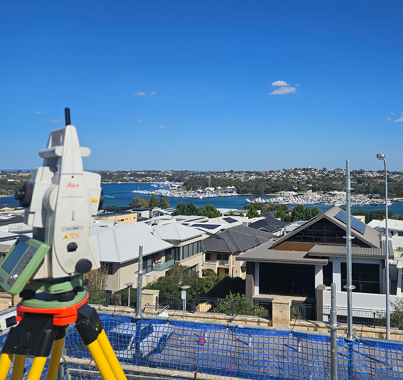
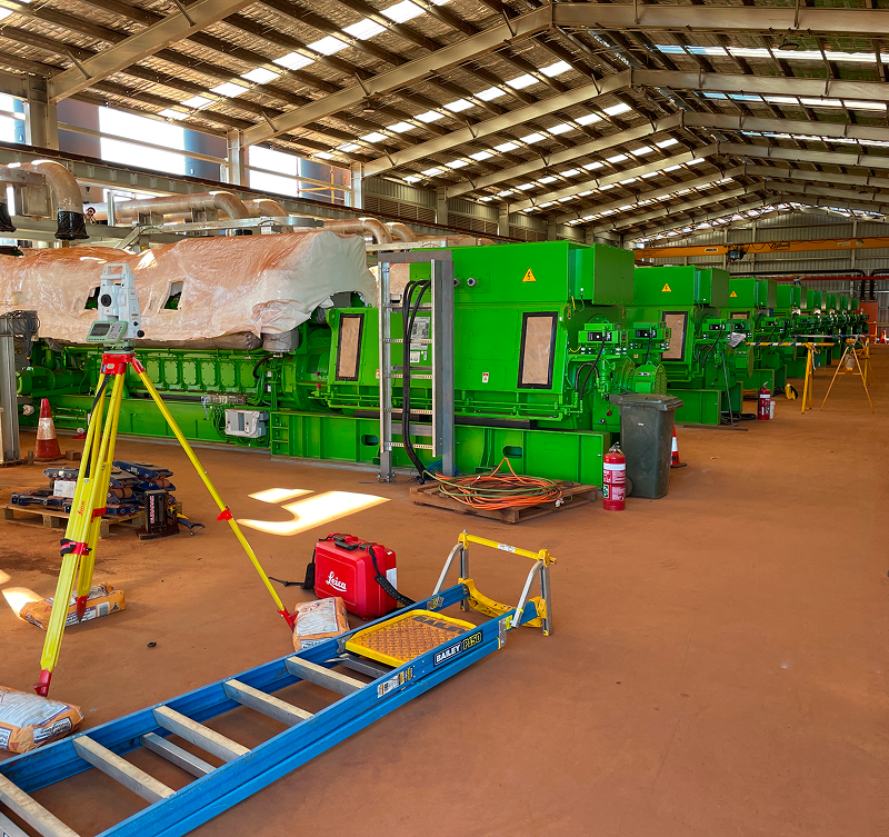
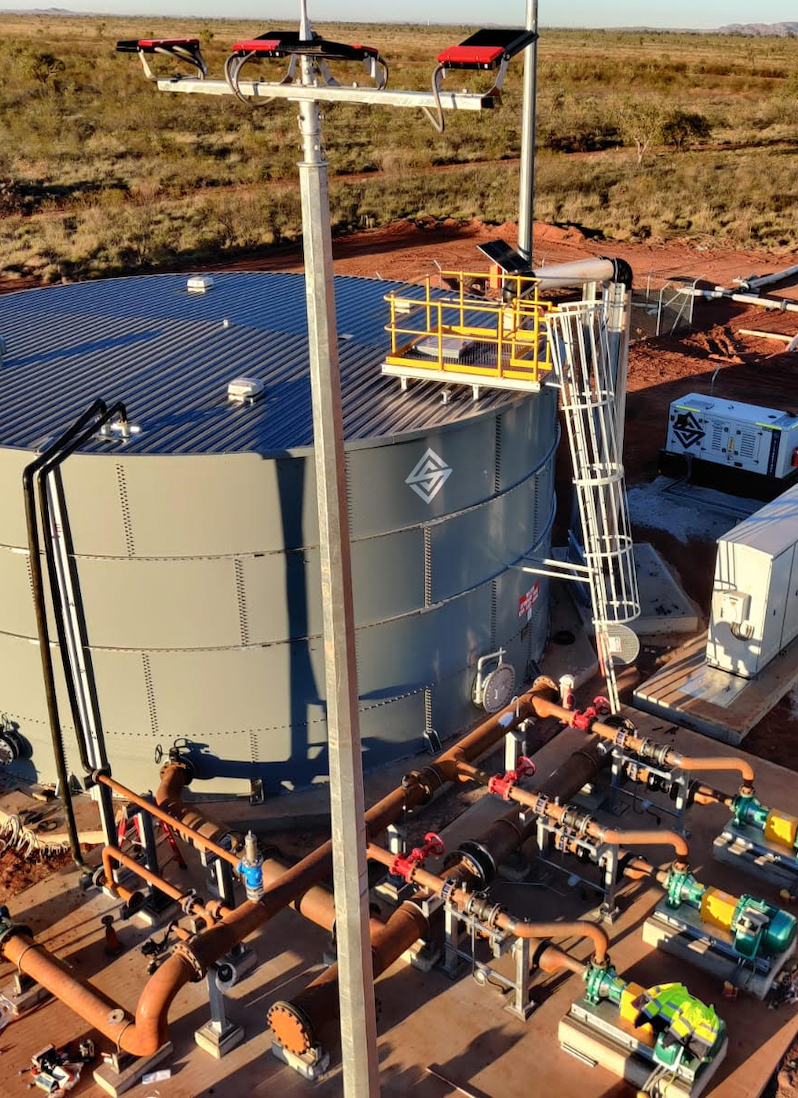
Integrated Surveying
Our team delivers precise site surveys, topographical mapping, and 3D modelling to support design, planning, and construction verification, ensuring projects are built accurately and efficiently.
Project Coordination
Silverstone provides seamless coordination between engineering, construction, and surveying teams to streamline workflows, manage risks, and maintain timelines for complex infrastructure projects.
Compliance & Quality Assurance
We maintain strict adherence to industry standards, regulatory requirements, and quality benchmarks, ensuring all works are safe, sustainable, and delivered to the highest standard.
Precision Surveying for Every Project
Silverstone combines advanced technology with expert teams to deliver accurate, reliable surveying solutions. From site capture to design integration, we provide the insights you need to plan, build, and operate with confidence.
Our
Process
Silverstone delivers surveying and engineering solutions with precision, safety, and efficiency. Our structured process ensures projects are accurately mapped, fully compliant, and delivered on time.
01
Project Planning
We begin by understanding project objectives, site conditions, and stakeholder requirements. Detailed plans are developed to align resources, timelines, and regulatory obligations.
02
Site Surveying
Our team conducts comprehensive surveys using advanced drone and terrestrial LiDAR technology, capturing high-resolution topographical and structural data for design and planning purposes.
03
Data Processing & Analysis
Collected survey data is processed into accurate models, orthophotos, and contour maps. This information supports engineering designs, construction verification, and progress tracking.
04
Design Integration & Verification
Survey outputs are integrated with CAD and GIS platforms to validate design intent, identify discrepancies, and ensure construction works meet specifications before and during execution.
05
Reporting & Handover
Final reports, as-built models, and visual documentation are delivered to clients, providing a complete record for operational planning, compliance, and ongoing maintenance.
Why Choose Silverstone
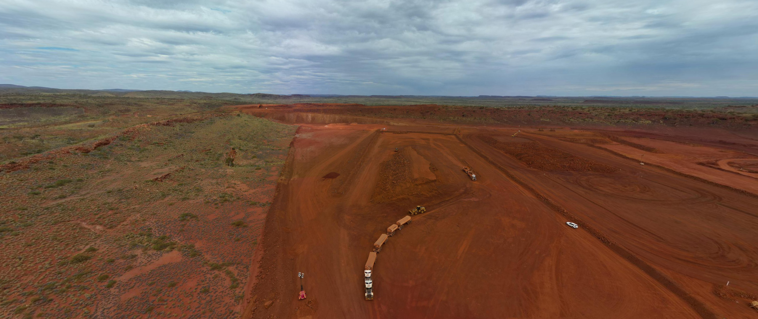
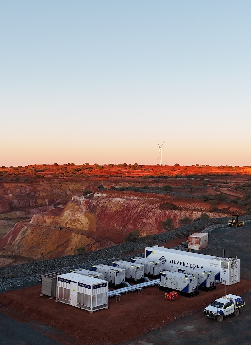
Silverstone delivers end-to-end surveying solutions with precision, efficiency, and reliability at every stage. Whether it’s licence surveys, engineering and construction set-outs, drone surveying, or property development, we provide accurate, actionable data that supports planning, design, construction, and operational decision-making.
With in-house capabilities spanning survey planning, data capture, set-out, progress monitoring, and reporting, we act as a single-source partner who understands the complexities, compliance requirements, and practical challenges of mining, civil, infrastructure, and property projects. Our surveying projects are executed by experienced professionals using advanced drone technology, GPS, and total stations, ensuring safety, minimal disruption, and results you can trust — all delivered on time and to the highest standard.
FAQS
Silverstone delivers surveying services with precision, efficiency, and real-world practicality. Our teams combine advanced technology, extensive on-ground experience, and a client-focused approach to provide reliable, accurate, and actionable survey data. From complex mining and infrastructure projects to property development, we ensure every project is delivered safely, on time, and to the highest standard. Our drone surveying and mapping capabilities allow rapid, cost-effective, and safe data capture across large or difficult-to-access sites, supporting design, construction, and operational decision-making.
What types of surveying services does Silverstone provide?
We offer licence surveys, engineering and construction surveys, drone surveying and mapping, and property development surveying, all tailored to each project’s specific requirements.
Can Silverstone handle large or remote projects?
Yes. Our surveyors have extensive experience across Western Australia, including remote mining sites, large-scale infrastructure, and challenging terrain. Drone surveying allows us to capture high-resolution aerial data quickly and safely, minimising disruption while maintaining accuracy.
How does Silverstone ensure accuracy in its survey data?
We combine advanced technology—such as UAVs, high-precision instruments, and 3D mapping tools—with decades of hands-on expertise, providing reliable results for design, construction, and operational use.
Does Silverstone provide support for construction and infrastructure projects?
Absolutely. We provide engineering, civil, mechanical, and structural survey support, including alignment, set-out, stockpile and volumetric surveys, and project audit surveying. Our drone surveys enable progress monitoring and visual reporting to keep construction projects on track and compliant.
How does Silverstone stay current with survey technology?
Our surveyors continually adopt the latest UAVs, CAD/GIS integration workflows, and software tools, ensuring innovative, cost-effective solutions that deliver maximum accuracy, efficiency, and actionable insights for clients.