


Property & Development

Property & Development with Silverstone
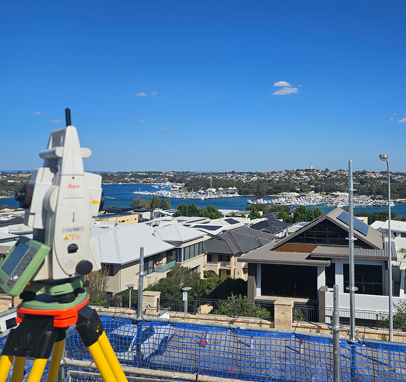
Silverstone supports property developers, planners and landowners with reliable surveying services that lay the foundation for confident, compliant project delivery. We understand that accurate spatial data is critical for site design, subdivision, boundary definition and regulatory approvals. Our experienced team combines practical field expertise with modern surveying technologies — including drone surveying and mapping — to provide clear, dependable results that help move property projects forward.
Whether you’re preparing a greenfield subdivision, managing an urban redevelopment, or refining land parcels for sale or lease, Silverstone delivers the precision and insight you need to plan, design and progress with certainty.
Included in the service
Boundary & Title Surveys
We establish and verify lot lines, easements, and cadastral boundaries with precision, ensuring legal compliance and clear demarcation for subdivision planning and documentation.
Site Surveys & Topographic Mapping
Our property surveys capture detailed site information, including existing contours, structures, utilities, and features — providing accurate survey data to support design and planning decisions.
Subdivision & Development Set‑Out
Silverstone provides survey set‑out services that translate design plans into accurate on‑ground marking, ensuring roads, lots, and infrastructure align exactly with approved plans.
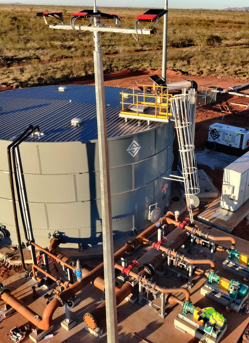
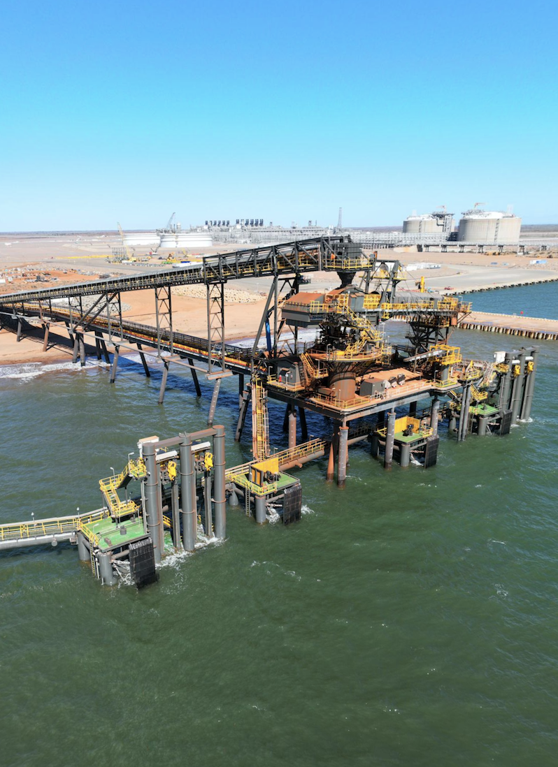
Drone Surveying & Mapping
Using high-resolution drone data, we capture orthophotos, contour models, and site imagery that enhance planning accuracy and demonstrate existing site conditions to stakeholders and authorities.
As‑Constructed Surveys
We prepare as-built survey deliverables that confirm works comply with approved plans, facilitating handovers, certification, and construction validation.
Regulatory Compliance & Reporting
Our team provides certified survey documentation and reporting that supports development applications, council submissions, and compliance requirements with confidence.
Precision Surveying for Every Project
Silverstone combines advanced technology with expert teams to deliver accurate, reliable surveying solutions. From site capture to design integration, we provide the insights you need to plan, build, and operate with confidence.
Our
process
Silverstone’s property development surveying process is structured to provide dependable data, clear communication and accurate deliverables.
01
Project Initiation & Brief
We work with clients to understand project goals, desired outcomes and regulatory requirements to define scope and deliverables.
02
Site Reconnaissance & Control Setup
Our team establishes survey control networks and conducts reconnaissance to ensure accurate on‑ground reference points before detailed work begins.
03
Data Capture & UAV Integration
Using a combination of traditional surveying and drone surveying and mapping, we capture comprehensive spatial data for the entire property or development area.
04
Data Processing & Quality Assurance
Collected information is processed into plans, models and maps with rigorous quality checks to ensure accuracy and compliance with standards.
05
Deliverables & Reporting
Final survey plans, reports and digital files are delivered in client‑preferred formats to support design, approvals, construction and title documentation.
Why Choose Silverstone
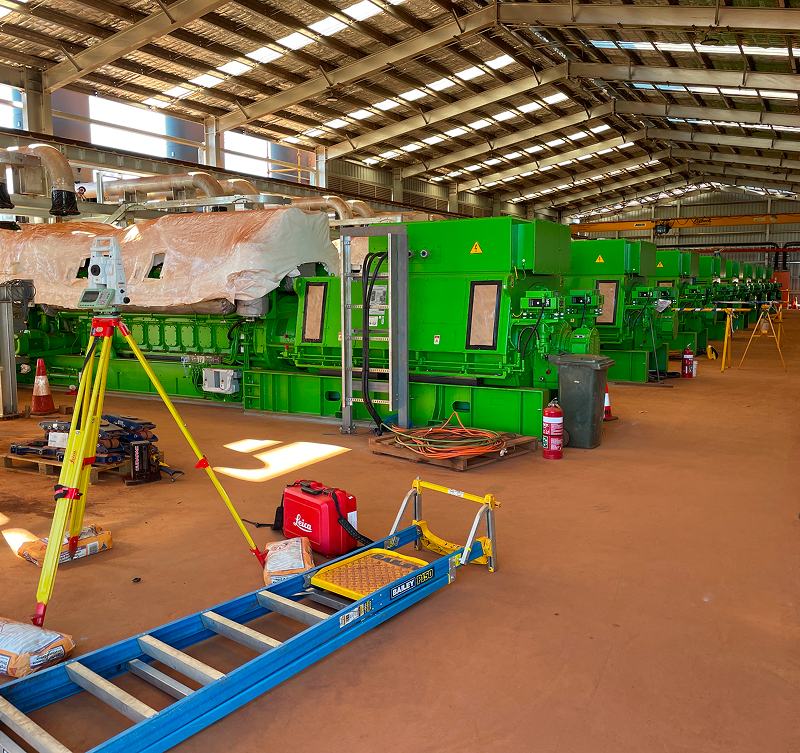
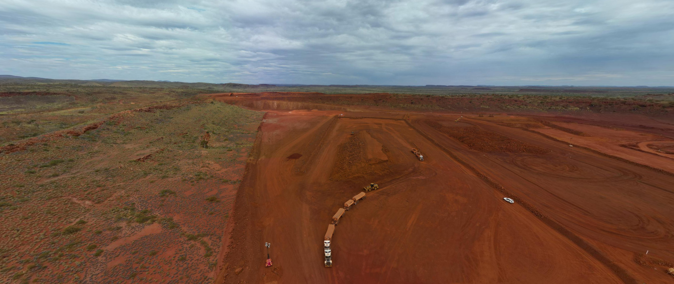
Silverstone delivers end-to-end surveying solutions with precision, efficiency, and reliability at every stage. Whether it’s licence surveys, engineering and construction set-outs, drone surveying, or property development, we provide accurate, actionable data that supports planning, design, construction, and operational decision-making.
With in-house capabilities spanning survey planning, data capture, set-out, progress monitoring, and reporting, we act as a single-source partner who understands the complexities, compliance requirements, and practical challenges of mining, civil, infrastructure, and property projects. Our surveying projects are executed by experienced professionals using advanced drone technology, GPS, and total stations, ensuring safety, minimal disruption, and results you can trust — all delivered on time and to the highest standard.
FAQS
What does a boundary survey involve?
We locate and verify cadastral boundaries, easements and legal monuments to establish clear property extents for subdivision and documentation purposes.
How can drone surveying support property development?
Drone surveying provides high‑resolution orthophotos, contour models and site imagery that enhance planning accuracy and speed up data capture across large or complex sites.
What deliverables will I receive?
We provide detailed survey plans, topographic maps, digital files (CAD/GIS), as‑built documentation and certified survey reports suitable for approvals and construction.
Can Silverstone support regulatory submissions?
Yes — our documentation and certification services are prepared to meet council, state and statutory requirements for development approvals.
Do you provide set‑out services for construction?
Absolutely. We translate design plans into accurate on‑ground set‑out, ensuring roads, lots and infrastructure are built to specification.